Montreuil-Bellay
Commune in Pays de la Loire, France From Wikipedia, the free encyclopedia
Montreuil-Bellay (French pronunciation: [mɔ̃tʁœj bɛlɛ] ⓘ) is a commune in the Maine-et-Loire department in western France.
Montreuil-Bellay | |
|---|---|
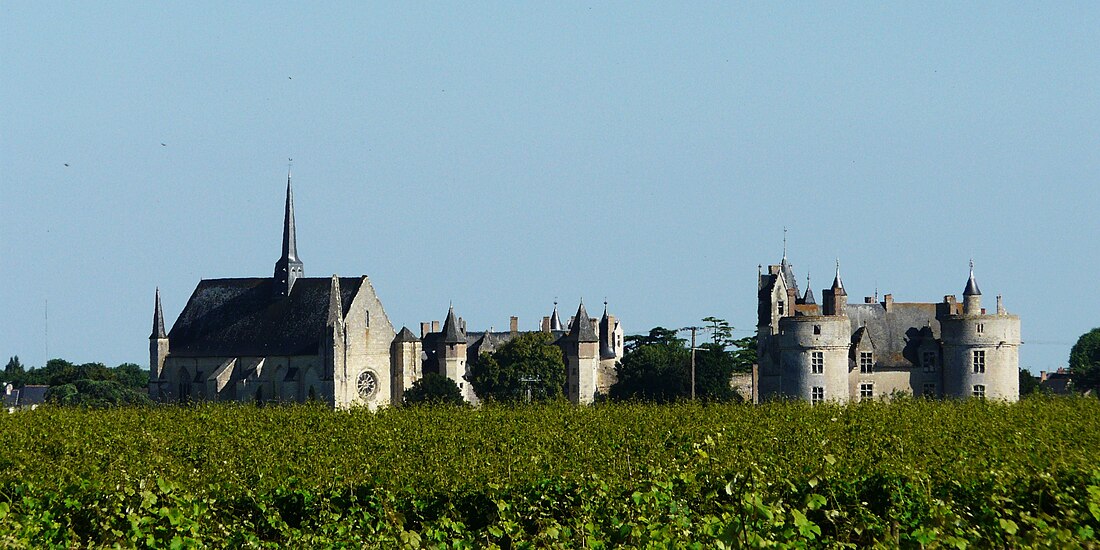
 A general view of Montreuil-Bellay | |
| Coordinates: 47°07′56″N 0°09′08″W | |
| Country | France |
| Region | Pays de la Loire |
| Department | Maine-et-Loire |
| Arrondissement | Saumur |
| Canton | Doué-en-Anjou |
| Intercommunality | CA Saumur Val de Loire |
| Government | |
| • Mayor (2020–2026) | Marc Bonnin[1] |
Area 1 | 48.96 km2 (18.90 sq mi) |
| Population (2022)[2] | 3,716 |
| • Density | 76/km2 (200/sq mi) |
| Demonym(s) | Montreuillais, Montreuillaise |
| Time zone | UTC+01:00 (CET) |
| • Summer (DST) | UTC+02:00 (CEST) |
| INSEE/Postal code | 49215 /49260 |
| Elevation | 29–73 m (95–240 ft) (avg. 54 m or 177 ft) |
| Website | Official website |
| 1 French Land Register data, which excludes lakes, ponds, glaciers > 1 km2 (0.386 sq mi or 247 acres) and river estuaries. | |
It is located approximately 15 km to the south of Saumur, and is famous for the Château de Montreuil-Bellay, which is situated in the town.
Montreuil-Bellay is on the Thouet, and was the head of navigation until navigation ceased at the beginning of the 20th century.[3] The navigation works were undertaken in the 15th century by the lords of Montreuil-Bellay, who in turn were granted letters patent by King Charles VII allowing them to raise a tax on wine that would pass through their land.[4] Montreuil-Bellay station has rail connections to Tours, Saumur, Bressuire and La Roche-sur-Yon.
Population
| Year | Pop. | ±% p.a. |
|---|---|---|
| 1968 | 3,086 | — |
| 1975 | 3,989 | +3.73% |
| 1982 | 4,093 | +0.37% |
| 1990 | 4,041 | −0.16% |
| 1999 | 4,112 | +0.19% |
| 2007 | 4,045 | −0.21% |
| 2012 | 4,032 | −0.06% |
| 2017 | 3,822 | −1.06% |
| Source: INSEE[5] | ||
See also
References
Wikiwand - on
Seamless Wikipedia browsing. On steroids.


