Loading AI tools
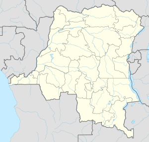
Mont Mohi is a mountain in the Democratic Republic of Congo.[1] It is located in the province of South Kivu Province, in the eastern part of the country, 1,500 km east of Kinshasa the capital of the country. 3,480 meters above sea level.[1]
The land around Mont Mohi is hilly in the southeast, but in the northwest it is a mountain. Panoramas, within a 10 kilometer radius.[2] Mont Mohi is the highest point in the area. There are about 266 people per square kilometer around Mont Mohi which is highly populated.[3] The area around Mont Mohi is almost covered by durowan and bugangan.[4]
The average temperature is 10 °C. The warmest month is December, at 10 °C, and the coldest is November, at 8 °C.[5] The average rainfall is 923 millimeters per year. The wettest month is December, with 163 millimeters of rain, and the driest is July, with 14 millimeters.[6]
| ||||||||||||||||||||||||||||||||||||||||||||||||||||||||||||||||||||||||||||||||||||||||||||||||||||||||||||||||||||||||||||
Wikiwand in your browser!
Seamless Wikipedia browsing. On steroids.
Every time you click a link to Wikipedia, Wiktionary or Wikiquote in your browser's search results, it will show the modern Wikiwand interface.
Wikiwand extension is a five stars, simple, with minimum permission required to keep your browsing private, safe and transparent.
