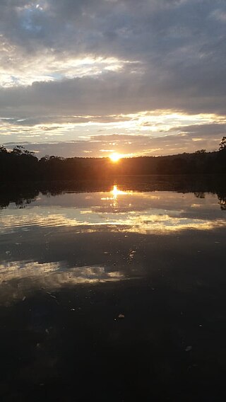
Maicuru River
River in Brazil From Wikipedia, the free encyclopedia
The Maicuru River is a river of Pará state in north-central Brazil, a tributary of the Amazon that discharges into that river via the Lago Grande de Monte Alegre.
| Maicuru River | |
|---|---|
| Native name | Rio Maicuru (Portuguese) |
| Location | |
| Country | Brazil |
| Physical characteristics | |
| Source | |
| • location | Tumucumaque Mountains National Park, Guyana Shield |
| • coordinates | 0°2′23.2728″S 54°36′9.486″W |
| • elevation | 331 m (1,086 ft) |
| Mouth | |
• location | Monte Alegre, Pará |
• coordinates | 2°0′16.6536″S 54°2′9.4344″W |
• elevation | 3 m (9.8 ft) |
| Length | 547 km (340 mi)[1] to 610 km (380 mi)[2] |
| Basin size | 21,917 km2 (8,462 sq mi)[1] |
| Discharge | |
| • location | Monte Alegre (near mouth) |
| • average | 240 m3/s (8,500 cu ft/s)[3] |
| Discharge | |
| • location | Arapari, Pará (basin size: 17,072 km2 (6,592 sq mi) |
| • average | (Period: 01/01/1997-27/02/2014) 127.2518 m3/s (4,493.85 cu ft/s)[4] |
| Basin features | |
| River system | Amazon River |
| Tributaries | |
| • left | Igarapé do Barreirinha, Igarapé Jangada, Igarapé Ipixuna, Igarapé 23, Igarapé Fartura, Igarapé Açu |
| • right | Igarapé Santa Maria |

The river basin lies partly within the 4,245,819 hectares (10,491,650 acres) Grão-Pará Ecological Station, the largest fully protected tropical forest conservation unit on the planet.[5] Part of the river's basin is in the Maicuru Biological Reserve.[6] The river is also fed by streams in the 216,601 hectares (535,230 acres) Mulata National Forest, a sustainable use conservation unit created in 2001.[7]
See also
References
Wikiwand - on
Seamless Wikipedia browsing. On steroids.

