Longes
Commune in Auvergne-Rhône-Alpes, France From Wikipedia, the free encyclopedia
Longes (French pronunciation: [lɔ̃ʒ] ⓘ) is a commune in the Rhône department in eastern France.
Longes | |
|---|---|
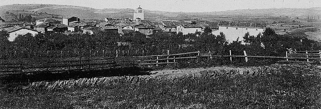
 A general view of Longes, at the beginning of the 20th century | |
| Coordinates: 45°30′20″N 4°41′21″E | |
| Country | France |
| Region | Auvergne-Rhône-Alpes |
| Department | Rhône |
| Arrondissement | Lyon |
| Canton | Mornant |
| Intercommunality | CA Vienne Condrieu |
| Government | |
| • Mayor (2020–2026) | Lucien Bruyas[1] |
Area 1 | 24.06 km2 (9.29 sq mi) |
| Population (2022)[2] | 951 |
| • Density | 40/km2 (100/sq mi) |
| Time zone | UTC+01:00 (CET) |
| • Summer (DST) | UTC+02:00 (CEST) |
| INSEE/Postal code | 69119 /69420 |
| Elevation | 210–785 m (689–2,575 ft) (avg. 420 m or 1,380 ft) |
| 1 French Land Register data, which excludes lakes, ponds, glaciers > 1 km2 (0.386 sq mi or 247 acres) and river estuaries. | |
See also
References
Wikiwand - on
Seamless Wikipedia browsing. On steroids.


