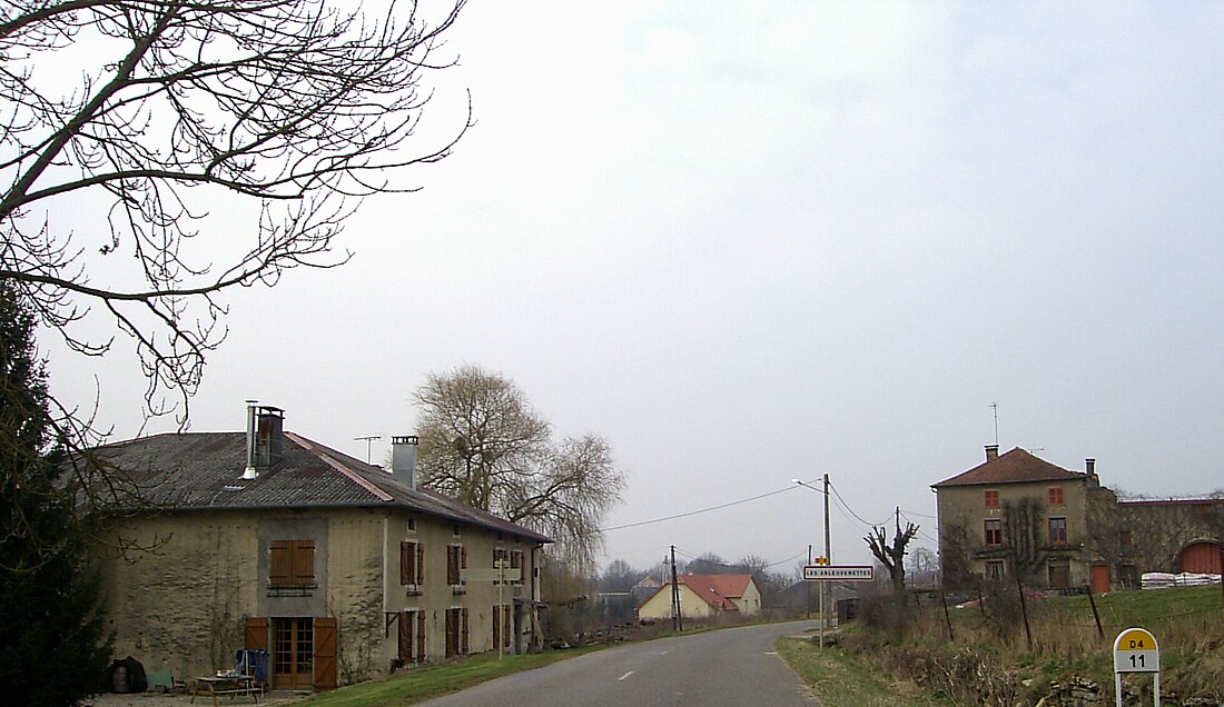
Les Ableuvenettes
Commune in Grand Est, France From Wikipedia, the free encyclopedia
Les Ableuvenettes (French pronunciation: [le.z‿ablœvnɛt] ⓘ) is a commune in the Vosges department in Grand Est in northeastern France. The discovery of coins certifies that Romans once occupied the area.
Les Ableuvenettes | |
|---|---|
 The road into Les Ableuvenettes | |
| Coordinates: 48°11′28″N 6°11′10″E | |
| Country | France |
| Region | Grand Est |
| Department | Vosges |
| Arrondissement | Neufchâteau |
| Canton | Darney |
| Intercommunality | CC Mirecourt Dompaire |
| Government | |
| • Mayor (2020–2026) | Jérôme Contejean[1] |
Area 1 | 4.49 km2 (1.73 sq mi) |
| Population (2022)[2] | 67 |
| • Density | 15/km2 (39/sq mi) |
| Time zone | UTC+01:00 (CET) |
| • Summer (DST) | UTC+02:00 (CEST) |
| INSEE/Postal code | 88001 /88270 |
| Elevation | 293–387 m (961–1,270 ft) (avg. 318 m or 1,043 ft) |
| 1 French Land Register data, which excludes lakes, ponds, glaciers > 1 km2 (0.386 sq mi or 247 acres) and river estuaries. | |
The first mention of Les Ableuvenettes dates from 1148, in the form of Albuvisnei.
See also
References
Wikiwand - on
Seamless Wikipedia browsing. On steroids.


