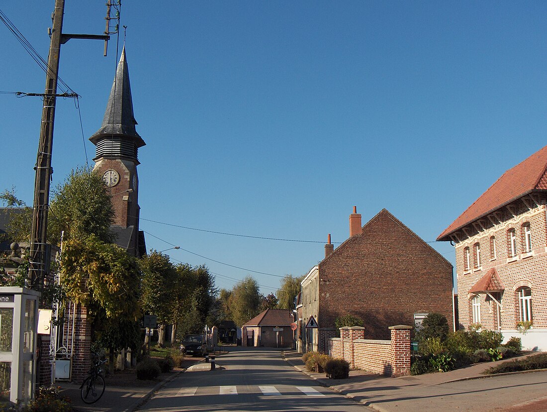
Le Maisnil
Commune in Hauts-de-France, France From Wikipedia, the free encyclopedia
Le Maisnil (French pronunciation: [lə mɛnil]) is a commune in the Nord department in northern France.[3]
Le Maisnil | |
|---|---|
 A view within Le Maisnil | |
| Coordinates: 50°36′56″N 2°53′10″E | |
| Country | France |
| Region | Hauts-de-France |
| Department | Nord |
| Arrondissement | Lille |
| Canton | Annœullin |
| Intercommunality | Métropole Européenne de Lille |
| Government | |
| • Mayor (2020–2026) | Michel Borrewater[1] |
Area 1 | 3.51 km2 (1.36 sq mi) |
| Population (2022)[2] | 628 |
| • Density | 180/km2 (460/sq mi) |
| Time zone | UTC+01:00 (CET) |
| • Summer (DST) | UTC+02:00 (CEST) |
| INSEE/Postal code | 59371 /59134 |
| Elevation | 18–26 m (59–85 ft) (avg. 24 m or 79 ft) |
| 1 French Land Register data, which excludes lakes, ponds, glaciers > 1 km2 (0.386 sq mi or 247 acres) and river estuaries. | |
It is about 10 km (6.2 mi) west of Lille.
Heraldry
 |
The arms of Le Maisnil are blazoned : Azure, an inescutcheon within 7 martlets in orle argent.
|
See also
References
Wikiwand - on
Seamless Wikipedia browsing. On steroids.


