La Torre, Lares, Puerto Rico
Barrio of Puerto Rico From Wikipedia, the free encyclopedia

La Torre is a barrio in the municipality of Lares, Puerto Rico. Its population in 2010 was 1,574.[3][4][5]
La Torre | |
|---|---|
Barrio | |
 Farmland in La Torre barrio | |
 Location of La Torre barrio within the municipality of Lares shown in red | |
 La Torre Location of Puerto Rico | |
| Coordinates: 18°15′09″N 66°52′28″W[1] | |
| Commonwealth | Puerto Rico |
| Municipality | Lares |
| Area | |
• Total | 5.64 sq mi (14.6 km2) |
| • Land | 5.64 sq mi (14.6 km2) |
| • Water | 0 sq mi (0 km2) |
| Elevation | 1,001 ft (305 m) |
| Population (2010) | |
• Total | 1,574 |
| • Density | 279.1/sq mi (107.8/km2) |
| Source: 2010 Census | |
| Time zone | UTC−4 (AST) |
History
La Torre was in Spain's gazetteers[6] until Puerto Rico was ceded by Spain in the aftermath of the Spanish–American War under the terms of the Treaty of Paris of 1898 and became an unincorporated territory of the United States. In 1899, the United States Department of War conducted a census of Puerto Rico finding that the population of La Torre barrio was 2,008.[7]
Sectors
Barrios (which are, in contemporary times, roughly comparable to minor civil divisions)[13] and subbarrios,[14] in turn, are further subdivided into smaller local populated place areas/units called sectores (sectors in English). The types of sectores may vary, from normally sector to urbanización to reparto to barriada to residencial, among others.[15][16][17]
The following sectors are in La Torre barrio:[18]
Cerro La Torre, Comunidad Los Milagros, Finca Calcerrada, Finca Delgado, Finca Ostolaza, Finca Silvestrini, Hacienda Monserrate Finca Pay Méndez, La Paragua, La Vega Calcerrada, La Vega de Los Acevedo, Las Toldas, Puente Blanco, Sector Collazo, Sector Isleta Camino Arana (Ramal 431), Sector Los Quemaos, Sector Mercedes Estades, Sector Morell, Sector Tosquero, and Tramo Carretera 128.
Gallery
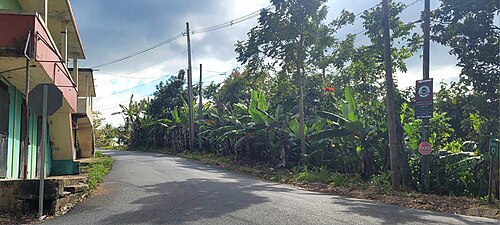 Puerto Rico Highway 4131 in La Torre

See also
References
External links
Wikiwand - on
Seamless Wikipedia browsing. On steroids.