Kolonowskie
Place in Opole Voivodeship, Poland From Wikipedia, the free encyclopedia
Kolonowskie [kɔlɔˈnɔfskʲɛ] (German: Colonnowska, sometimes Kolonnowska, 1936–1945 Grafenweiler; Silesian: Kolōnowske) is a town in Strzelce County, Opole Voivodeship, Poland,[2] with 3,309 inhabitants (2019). It is the seat of Gmina Kolonowskie which has been officially bilingual in Polish and German since 2006.
Kolonowskie
Colonnowska | |
|---|---|
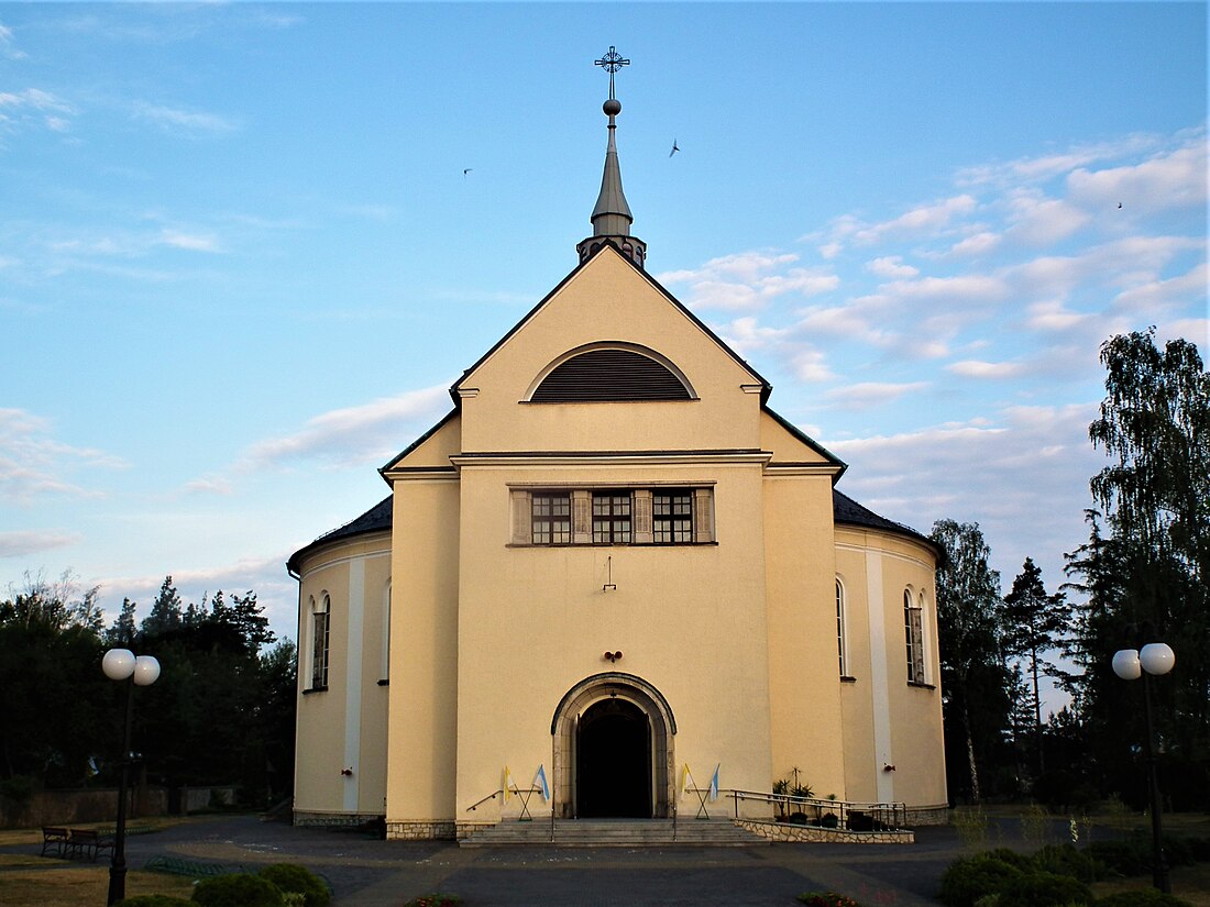
 Church of the Immaculate Heart of Mary in Kolonowskie | |
| Coordinates: 50°39′12″N 18°23′03″E | |
| Country | Poland |
| Voivodeship | Opole |
| County | Strzelce |
| Gmina | Kolonowskie |
| Area | |
• Total | 55.84 km2 (21.56 sq mi) |
| Population (2019-06-30[1]) | |
• Total | 3,309 |
| • Density | 59/km2 (150/sq mi) |
| Time zone | UTC+1 (CET) |
| • Summer (DST) | UTC+2 (CEST) |
| Postal code | 47-110 |
| Vehicle registration | OST |
| Voivodeship roads | |
| Website | http://www.kolonowskie.pl |
It is situated on the Mała Panew River.
History
In 1910, 1,587 Poles lived in the town.[3]
During World War II, Nazi Germans operated the E265 forced labour subcamp of the Stalag VIII-B/344 prisoner-of-war camp in the town, and the E260 and E737 subcamps in the present-day district of Fosowskie.[4]
Twin towns – sister cities
References
Wikiwand - on
Seamless Wikipedia browsing. On steroids.


