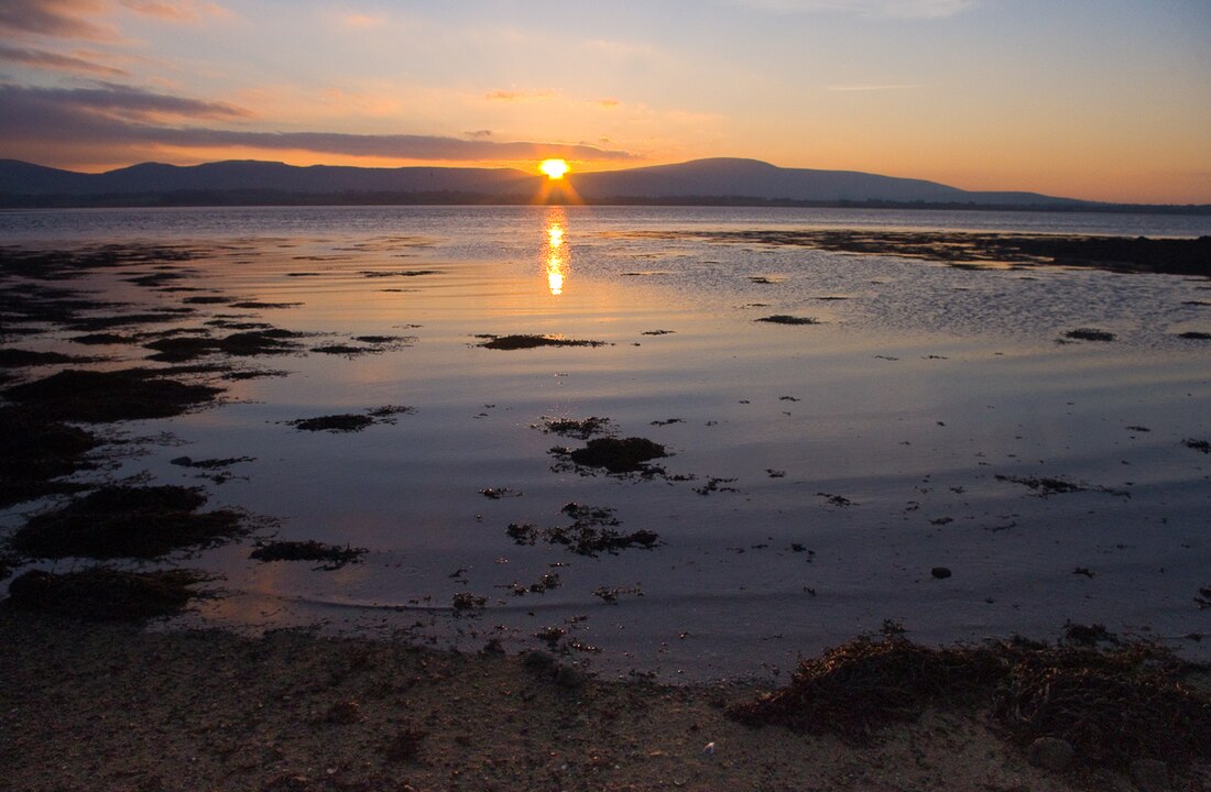
Knockalongy
Mountain in Ireland From Wikipedia, the free encyclopedia
Knockalongy (from Irish Cnoc na Loinge, meaning 'hill of the encampment')[3] is a 544-metre (1,785 ft) Marilyn in County Sligo, Ireland. It is the highest of the Ox Mountains.[1] The nearest village is Skreen.[4]
| Knockalongy | |
|---|---|
| Cnoc na Loinge | |
 | |
| Highest point | |
| Elevation | 544 m (1,785 ft)[1][2] |
| Prominence | 490 m (1,610 ft)[1] |
| Listing | Marilyn |
| Coordinates | 54°11′39″N 8°45′37″W |
| Naming | |
| English translation | hill of the encampment |
| Language of name | Irish |
| Geography | |
| Location | County Sligo, Ireland |
| Parent range | Ox Mountains |
| OSI/OSNI grid | G504275 |
There are many megalithic tombs on the plain between Knockalongy and Sligo Bay to the north. There are also two small loughs at the foot of the mountain—Lough Aghree and Lough Minnaun.[4]
See also
References
Wikiwand - on
Seamless Wikipedia browsing. On steroids.

