Top Qs
Timeline
Chat
Perspective
Kitigan
Dispersed rural community in Ontario, Canada From Wikipedia, the free encyclopedia
Remove ads
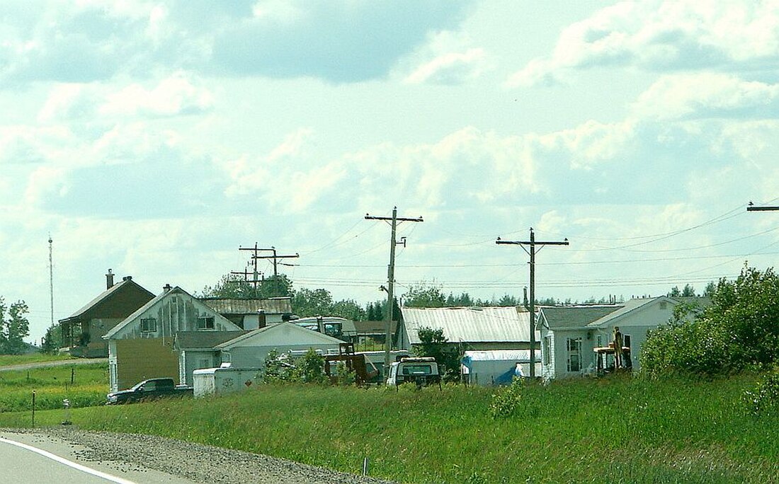
Kitigan is a dispersed rural community in the Unorganized North Part of Cochrane District in Northeastern Ontario, Canada. It is located in geographic O'Brien Township along Ontario Highway 11 between the incorporated municipalities of Moonbeam to the east and Kapuskasing to the west.[1][3][4][5][6]
The community is counted as part of Unorganized North Cochrane District in Canadian census data.
Remove ads
References
Wikiwand - on
Seamless Wikipedia browsing. On steroids.
Remove ads


