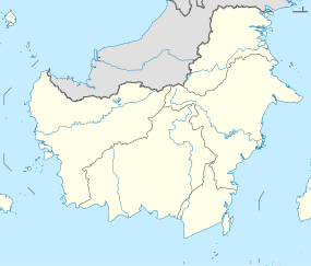
The Kaso River (Sungai Kaso or Kacu) is a stream in the Indonesian part of the island of Borneo, about 1100 km northeast of the Indonesian capital Jakarta.[1] One of its tributaries is the Seputan River. The Kaso flows into the Mahakam River.[2] In 1889, Tromp reported three villages of Bukat people on the Kaso. The villages were on the Penane River, a tributary of the Kacu at Long Mecai. The semi-nomadic Seputan people also live on the Kacu at times.[3]
| Kaso River Sungai Kaso, Sungai Kacu, Soengai Kasau, Sungai Kasso, Soengai Kasso | |
|---|---|
| Location | |
| Country | Indonesia |
| Province | East Kalimantan |
| Physical characteristics | |
| Source | |
| • location | Borneo |
Geography
The river flows in the central area of Borneo with a predominantly tropical rainforest climate (designated as Af in the Köppen-Geiger climate classification).[4] The annual average temperature in the area is 21 °C. The warmest month is September when the average temperature is around 22 °C, and the coldest is June, at 20 °C.[5] The average annual rainfall is 4449 mm. The wettest month is November, with an average of 554 mm of rainfall, and the driest is October, with 235 mm of rainfall.[6]
See also
References
Wikiwand - on
Seamless Wikipedia browsing. On steroids.

