Hornsea Rail Trail
Rail trail in the East Riding of Yorkshire, England From Wikipedia, the free encyclopedia
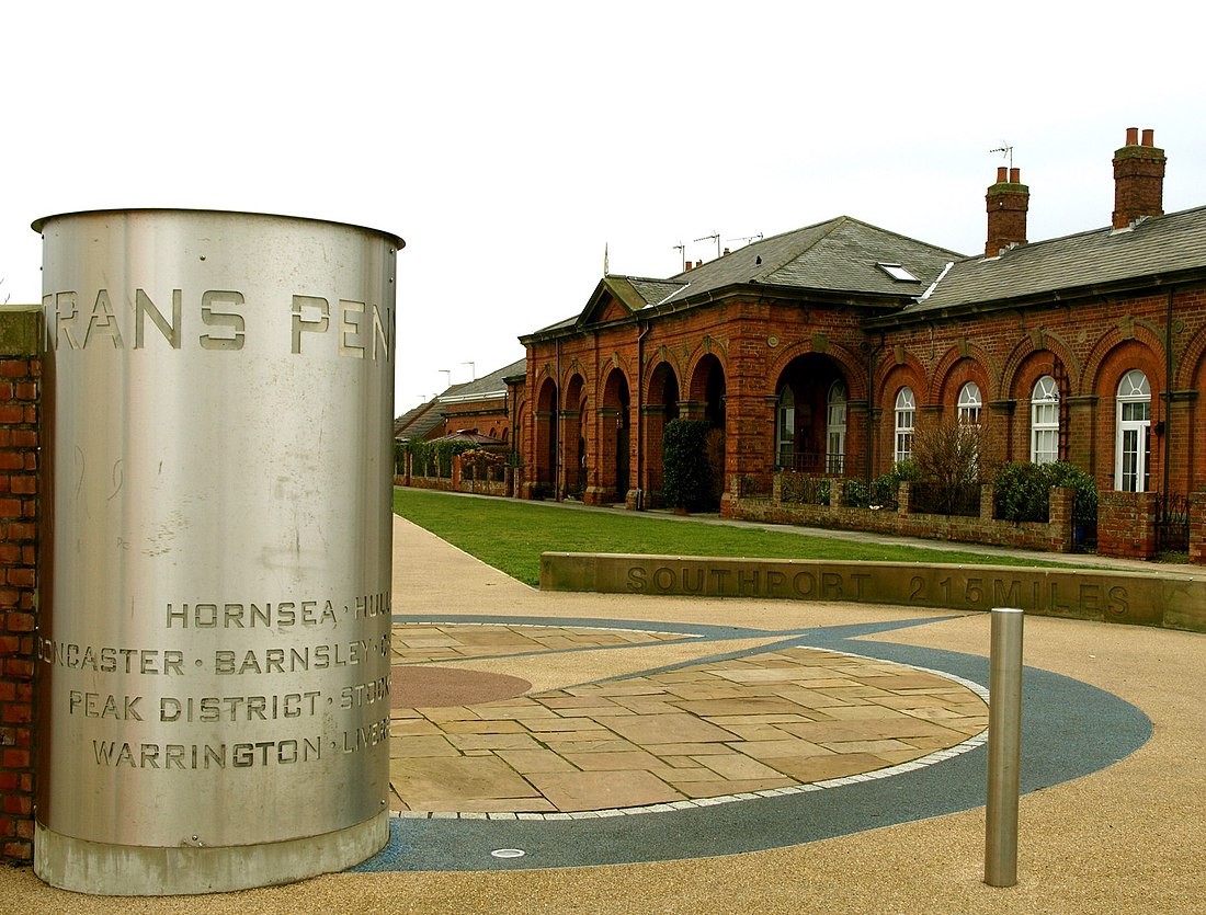
Hornsea Rail Trail is a public footpath, cycleway and bridleway which follows the route of the old Hull and Hornsea Railway in the East Riding of Yorkshire, England.[1] It forms the eastern part of the Trans Pennine Trail.

Coordinates

| Point | Coordinates (Links to map resources) |
OS Grid Ref | Notes |
|---|---|---|---|
| Hornsea | 53.9114°N 0.1628°W | SE799473 | End point |
| New Ellerby | 53.8380°N 0.2261°W | TA168394 | |
| Skirlaugh picnic site | 53.8209°N 0.2495°W | TA153374 | |
| Sutton-on-Hull | 53.7819°N 0.3072°W | TA116330 | |
| Railway line | 53.7583°N 0.3228°W | TA106304 | Take right fork just after bridge |
| Sykes Street, Hull | 53.7494°N 0.3242°W | TA106294 | Start point[Note 1] |
Notes
- East Riding of Yorkshire Council start point varies from this.
References
External links
Wikiwand - on
Seamless Wikipedia browsing. On steroids.
