Holwierde
Village in Groningen, Netherlands From Wikipedia, the free encyclopedia
Holwierde (Dutch pronunciation: [ɦɔlˈʋiːrdə]; Gronings: Holwier [ɦɔɫˈʋiːɾ]) is a village in the municipality of Eemsdelta in the province of Groningen in the Netherlands. It lies about 26 km (16.2 mi) northeast of the city of Groningen.
You can help expand this article with text translated from the corresponding article in Dutch. (October 2024) Click [show] for important translation instructions.
|
Holwierde | |
|---|---|
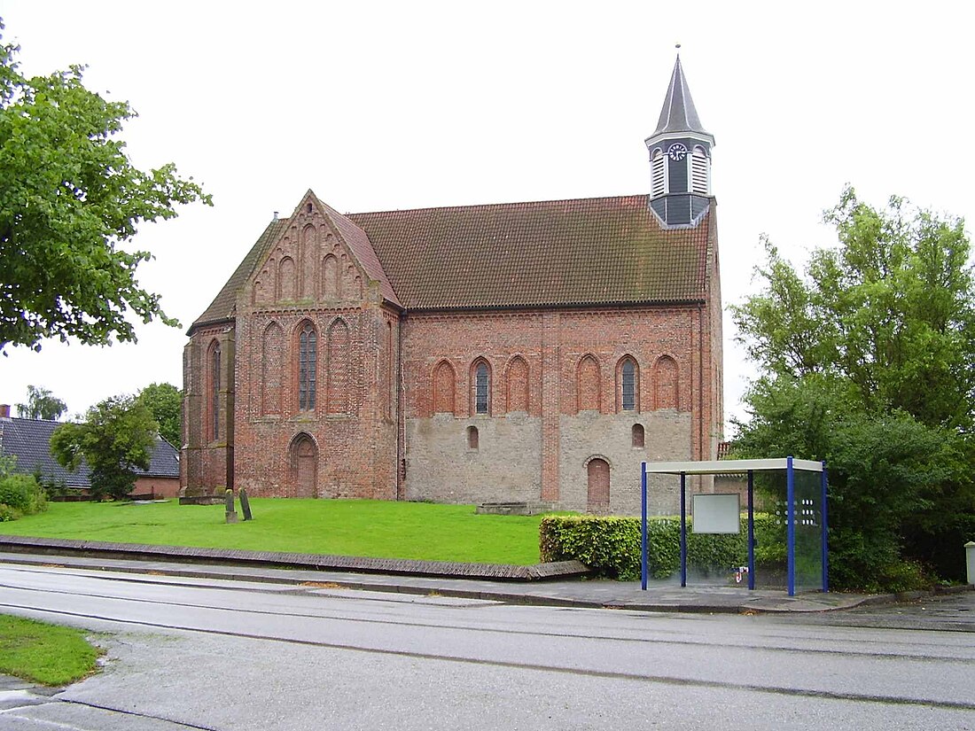
 Stefanuskerk (Stephen Church) | |
| Coordinates: 53°21′N 6°52′E | |
| Country | Netherlands |
| Province | Groningen |
| Municipality | Eemsdelta |
| Area | |
• Total | 0.56 km2 (0.22 sq mi) |
| Elevation | 0.8 m (2.6 ft) |
| Population (2021)[1] | |
• Total | 935 |
| • Density | 1,700/km2 (4,300/sq mi) |
| Postal code | 9905[3] |
| Dialing code | 0596[4] |
History
The village was first mentioned in 1247 as "in Halwirth". The etymology is unclear.[5] Holwierde is a terp (artificial living hill) village from the early middle ages. In the late middle ages, a canal was dug to the Damsterdiep.[6]
The nave of the Dutch Reformed church dates from the 11th century. The church has been extended in the 13th and 14th century. The tower was from the 13th century, but collapsed in 1836 and the remains were demolished in 1854.[6]
Holwierde was home to 66 people in 1840.[7] In April 1945, Holwierde was heavy damaged.[6] The German forces had decided to make a last stand, and taken a part of the male population hostage in the church.[8]
Gallery
- Street view
- Farm near Holwierde
- Villa in Holwierde
References
External links
Wikiwand - on
Seamless Wikipedia browsing. On steroids.


