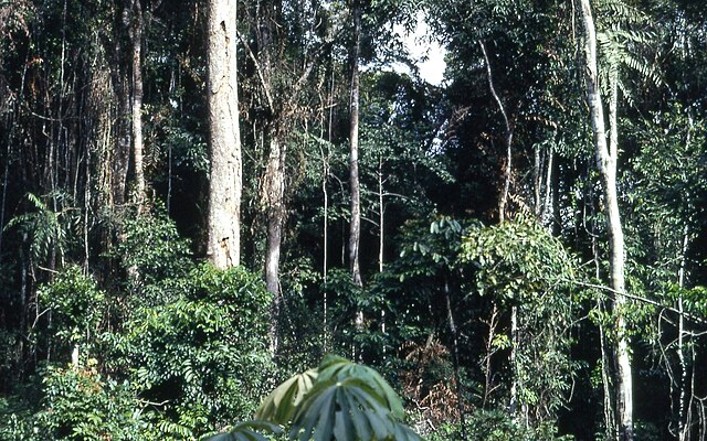
Guinean Forests of West Africa
Biodiversity hotspots of West Africa From Wikipedia, the free encyclopedia
The Guinean forests of West Africa is a biodiversity hotspot designated by Conservation International, which includes the belt of tropical moist broadleaf forests along the coast of West Africa, running from Sierra Leone and Guinea in the west to the Sanaga River of Cameroon in the east. The Dahomey Gap, a region of savanna and dry forest in Togo and Benin, divides the Guinean forests into the Upper Guinean forests and Lower Guinean forests.


The Upper Guinean forests extend from Sierra Leone and Guinea in the west through Liberia, Côte d'Ivoire, and Ghana to Togo in the east. The Lower Guinean forests extend east from Benin through Nigeria and Cameroon. The Lower Guinean forests also extend south past the Sanaga River, the southern boundary of the hotspot, into southern Cameroon, Equatorial Guinea, Gabon, Republic of the Congo, Cabinda, and Democratic Republic of the Congo.
According to some sources, deforestation has already wiped out roughly 90% of West Africa's original forests.[1][2]
Ecoregions
The World Wide Fund for Nature divides the Upper and Lower Guinean forests into a number of distinct ecoregions:
- Western Guinean lowland forests (Guinea, Sierra Leone, Liberia, Côte d'Ivoire)
- Guinean montane forests (Guinea, Sierra Leone, Côte d'Ivoire)
- Eastern Guinean forests (Côte d'Ivoire, Ghana, Togo, Benin)
- Nigerian lowland forests (Benin, Nigeria)
- Niger Delta swamp forests (Nigeria)
- Cross-Niger transition forests (Nigeria)
- Cross-Sanaga-Bioko coastal forests (Nigeria, Cameroon, Equatorial Guinea)
- Cameroonian Highlands forests (Nigeria, Cameroon)
- Mount Cameroon and Bioko montane forests (Cameroon, Equatorial Guinea)
See also
References
External links
Wikiwand - on
Seamless Wikipedia browsing. On steroids.
