Fruitdale, Alabama
Census-designated place in Alabama, United States From Wikipedia, the free encyclopedia
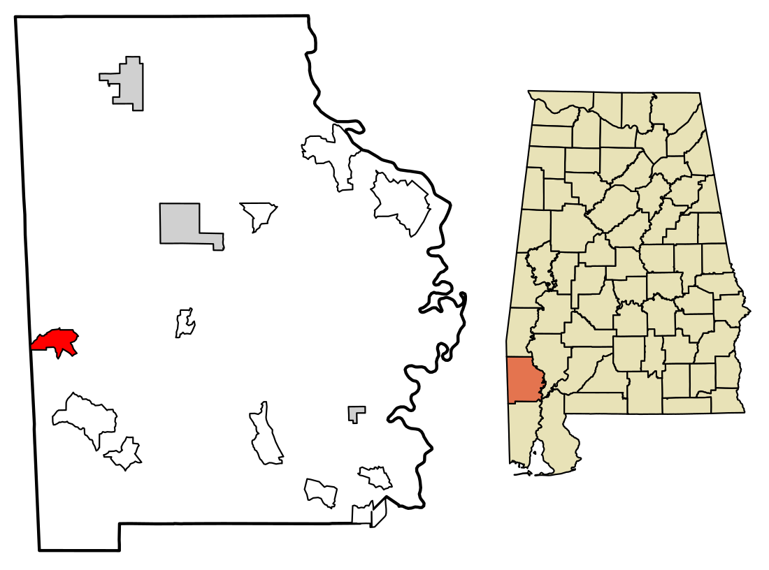
Fruitdale is a census-designated place and unincorporated community in Washington County, Alabama, United States. Its population was 185 as of the 2010 census.[4] Fruitdale High School serves K-12 students in the area. In November 2022, the town was struck by an EF3 Tornado.
Fruitdale, Alabama | |
|---|---|
 Location of Fruitdale in Washington County, Alabama. | |
| Coordinates: 31°20′34″N 88°24′28″W | |
| Country | United States |
| State | Alabama |
| County | Washington |
| Area | |
• Total | 4.49 sq mi (11.63 km2) |
| • Land | 4.47 sq mi (11.59 km2) |
| • Water | 0.02 sq mi (0.04 km2) |
| Elevation | 246 ft (75 m) |
| Population (2020) | |
• Total | 175 |
| • Density | 39.11/sq mi (15.10/km2) |
| Time zone | UTC-6 (Central (CST)) |
| • Summer (DST) | UTC-5 (CDT) |
| ZIP code | 36539[2] |
| Area code | 251 |
| GNIS feature ID | 118737[3] |
Demographics
As of the 2010 United States Census, there were 185 people living in the CDP. The racial makeup of the CDP was 70.3% White, 27.6% Black and 0.5% from two or more races. 1.6% were Hispanic or Latino of any race.
References
Wikiwand - on
Seamless Wikipedia browsing. On steroids.

