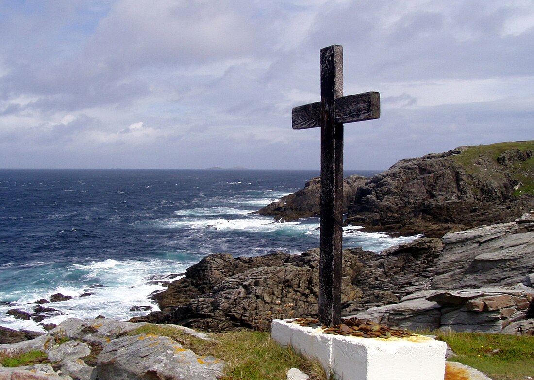
Extreme points of Ireland
From Wikipedia, the free encyclopedia
This is a list of the extreme points of Ireland – the points that are farthest north, south, east or west in Ireland. It includes the Republic of Ireland and Northern Ireland.
This article needs additional citations for verification. (September 2010) |

Often the term "Malin to Mizen" is used when encompassing the entire island from north to south. The geographical centre of Ireland is 8.85 kilometres north-northwest of Athlone Town.[1]
Whole island
Summarize
Perspective

Including islands
Points:
- Northernmost point: Tor Beg rock northeast of Inishtrahull, County Donegal, Republic of Ireland (ROI)
- Southernmost point: Fastnet Rock southeast of Cape Clear Island, County Cork, ROI
- Westernmost point: Tearaght Island, County Kerry, ROI
- Easternmost point: Cannon Rock, County Down, Northern Ireland (NI)
Settlements:
- Northernmost settlement: Ballyhillin, Inishowen Peninsula, County Donegal
- Southernmost settlement: Clear Island, County Cork
- Westernmost settlement: Dunquin, Dingle Peninsula, County Kerry
- Easternmost settlement: Portavogie, Ards Peninsula, County Down (NI)
Mainland only
Points:
- Northernmost point: Banba's Crown (the tip of Malin Head), Inishowen Peninsula, County Donegal, Republic of Ireland (Latitude: 55° 23′ 4″ N)
- Southernmost point: Brow Head (near Mizen Head), County Cork, Republic of Ireland (Latitude: 51° 26′ 52″ N)
- Westernmost point: Dunmore Head, Dingle Peninsula, County Kerry, Republic of Ireland at V 3014 9804 (Longitude: 10° 28′ 46″ W)
- Easternmost point: Burr Point, Ards Peninsula, County Down, Northern Ireland (Longitude: 5° 25′ 58″ W)
Settlements:
- Northernmost settlement: Ballyhillin, Inishowen Peninsula, County Donegal, Ulster, Republic of Ireland
- Southernmost settlement: Crookhaven, County Cork, Republic of Ireland
- Westernmost settlement: Dunquin, Dingle Peninsula, County Kerry, Republic of Ireland
- Easternmost settlement: Portavogie, Ards Peninsula, County Down, Northern Ireland
Altitude
- Highest point: Carrauntoohil, County Kerry, Republic of Ireland (1,041 m / 3,466 ft)
- Highest settlement: Meelin, County Cork, Republic of Ireland (254 m / 832 ft)
- Lowest point: North Slob, County Wexford, Republic of Ireland (−3 m / −10 ft)
Many points are on, or near sea level, but due to high rainfall, there are no natural dry pieces of land below sea level - see rivers and loughs below.
Republic of Ireland
Summarize
Perspective

Including islands
- Northernmost point: Inishtrahull, County Donegal
- Northernmost settlement: Ballyhillin, Inishowen Peninsula, County Donegal
- Southernmost point: Fastnet Rock, County Cork
- Southernmost settlement: Crookhaven, County Cork
- Westernmost point: Tearaght Island, County Kerry
- Westernmost settlement: Dunquin, Dingle Peninsula, County Kerry
- Easternmost point: Lambay Island, County Dublin
- Easternmost settlement: Wicklow, County Wicklow
Mainland only
- Northernmost point: Banba's Crown (the tip of Malin Head), Inishowen Peninsula, County Donegal
- Northernmost settlement: Ballyhillin, Inishowen Peninsula, County Donegal
- Southernmost point: Brow Head (near Mizen Head), County Cork
- Southernmost settlement: Crookhaven, County Cork
- Westernmost point: Dunmore Head, Dingle Peninsula, County Kerry
- Westernmost settlement: Dunquin, County Kerry
- Easternmost point: Wicklow Head, County Wicklow
- Easternmost settlement: Wicklow, County Wicklow
Altitude
- Highest point: Carrauntoohil, County Kerry
- Lowest point: North Slob, County Wexford
- Highest settlement: Meelin, County Cork
Many points are on, or near sea level, but due to high rainfall, there are no natural dry pieces of land below sea level - see rivers and lochs below.
Northern Ireland
Summarize
Perspective

Including islands
- Northernmost point: Skerriagh, Ballygill North, Rathlin Island at 55°18′N 6°14′W
- Northernmost settlement: Rathlin Island, County Antrim at 55°17′N 6°11′W
- Southernmost point: Cranfield Point, County Down at 54°1′N 6°3′W
- Southernmost settlement: Greencastle, County Down at 54°2′N 6°5′W
- Westernmost point – western part of Manger townland, County Fermanagh (immediately east of the Bradogue Bridge) at 54°27′53″N 8°10′39″W
- Westernmost settlement: Belleek, County Fermanagh at 54°48′N 8°08′W
- Easternmost point: Canon Rock, County Down at 54°29′N 5°25′W
- Easternmost settlement: Portavogie, County Down at 54°27′N 5°26′W
Mainland only
- Northernmost point: Benbane Head, County Antrim at 55°15′N 6°28′W
- Northernmost settlement: Ballintoy, County Antrim at 55°14′N 6°21′W
- Southernmost point: Cranfield Point, County Down at 54°1′N 6°3′W
- Southernmost settlement: Greencastle, County Down at 54°2′N 6°5′W
- Westernmost point – western part of Manger townland, County Fermanagh (immediately east of the Bradogue Bridge) at 54°27′53″N 8°10′39″W
- Westernmost settlement: Belleek, County Fermanagh at 54°48′N 8°08′W
- Easternmost point: Burr Point, Ards Peninsula, County Down at 55°29′N 5°26′W
- Easternmost settlement: Portavogie, County Down at 54°27′N 5°26′W
Altitude
- Highest point: Slieve Donard, County Down (850 m / 2,789 ft)
- Highest settlement: Greencastle, County Tyrone (188 m / 617 ft)
Many points are on, or near sea level, but due to high rainfall, there are no natural dry pieces of land below sea level.
See also
References
Wikiwand - on
Seamless Wikipedia browsing. On steroids.
