Top Qs
Timeline
Chat
Perspective
Eastgardens, New South Wales
Suburb of Sydney, New South Wales, Australia From Wikipedia, the free encyclopedia
Remove ads
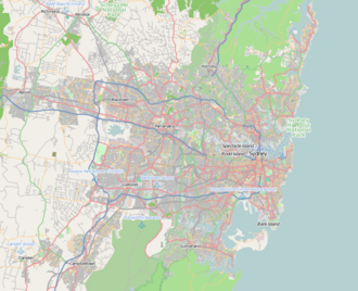
Eastgardens is a suburb in the Eastern Suburbs of Sydney, in the state of New South Wales, Australia. Eastgardens is located 9 km south of the Sydney central business district and is part of the Bayside Council.
Remove ads
It has a large shopping centre, Westfield Eastgardens at the corner of Wentworth Avenue and Bunnerong Road.
Remove ads
History
Eastgardens was originally a part of the suburbs of Pagewood and Hillsdale. The suburb took its name from the Westfield Eastgardens shopping centre in Wentworth Avenue which opened in 1987.[2] The site was originally government owned land which was used as an Urban Transit Authority bus depot and also as a Holden car manufacturing plant.[3][4][5]
Population
In the 2021 Census, there were 4,086 people in Eastgardens. 38.0% of people were born in Australia and 45.3% of people spoke only English at home. The most common responses for religious affiliation were No Religion (35.6%) and Catholic (30.0%).[1]
References
External links
Wikiwand - on
Seamless Wikipedia browsing. On steroids.
Remove ads


