Loading AI tools
Municipality in Catalonia, Spain From Wikipedia, the free encyclopedia
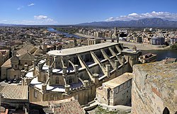
Tortosa (Northwestern Catalan: [toɾˈtoza], Spanish: [toɾˈtosa] ) is the capital of the comarca of Baix Ebre, in Catalonia, Spain.
Tortosa | |
|---|---|
 | |
| Coordinates: 40°48′46″N 0°31′24″E | |
| Country | Spain |
| Community | Catalonia |
| Province | Tarragona |
| Comarca | Baix Ebre |
| Government | |
| • Mayor | Jordi Jordan Farnós (2023) |
| Area | |
| • Total | 218.5 km2 (84.4 sq mi) |
| Elevation | 12 m (39 ft) |
| Population (2018)[2] | |
| • Total | 33,510 |
| • Density | 150/km2 (400/sq mi) |
| Demonym(s) | Tortosí, tortosina |
| Climate | Csa |
| Website | tortosa |

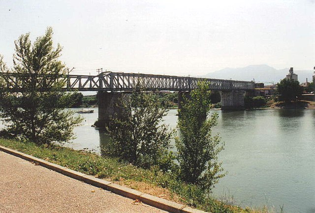
Tortosa is located at 12 metres (39 feet) above sea level, by the Ebro river, protected on its northern side by the mountains of the Cardó Massif, of which Buinaca, one of the highest peaks, is located within Tortosa's municipal boundary.
Before Tortosa, across the river, rise the massive Ports de Tortosa-Beseit mountains. The area around Mont Caro and other high summits are often covered with snow in the winter.
The municipality includes a small exclave to the west.
Tortosa (from Latin: Dertusa or Dertosa, via Arabic: طرطوشة Ṭurṭūshah) is probably identical to the ancient Hibera, capital of Ilercavonia. This may be the ancient settlement the remains of which have been found on the hill named Castillo de la Zuda. In Roman times, the town took the name Dertosa (Ancient Greek: Δέρτωσσα).[3]
Tortosa was occupied in about 714, during the Arab conquest of the Visigothic Kingdom.[4] It remained under Muslim rule for more than 400 years. King Louis the Pious laid siege to Tortosa in 808–809, but although the city submitted he did not manage to occupy it.
The city was conquered by the Count Ramon Berenguer IV of Barcelona in 1148, as part of the Second Crusade. Because of the crusading appeal made by Pope Eugene III and his representative Nicholas Brakespear (the future Pope Hadrian IV), the siege received the aid of crusaders from multiple nationalities (Genovese, Anglo-Normans, Normans, Occitans, Germans, Flemish and Dutch), who were on their way to the Holy Land. The siege of Tortosa was narrated by the Genovese chronicler and diplomat Caffaro.
After its conquest, the city and its territory were divided among the victors, with multiple lands being granted to foreign crusaders and to the military and religious orders.[5]
Formerly there was a railway line between Tortosa and Alcañiz, opening a communication gate between this region and Aragon.[6] Construction work began in 1891, but it was haphazard and the first trains between Alcañiz and Tortosa began only in 1942. The last stretch between Tortosa and Sant Carles de la Ràpita was never completed before the line was terminated by Renfe in 1973.[7]
Declared Fiesta of National Tourist Interest of Spain (2005).
| Year | 1991 | 1996 | 2001 | 2004 |
|---|---|---|---|---|
| Population | 29,452 | 30,088 | 28,933 | 31,979 |
Tortosa has a hot-summer mediterranean climate (Csa) in the Köppen climate classification.[11] Tortosa enjoys a very warm climate for its latitude. Even considering it's located at miles inland from the coastline, this mostly happens because the city lies on the delta of the Ebro river, which acts as a natural barrier against cold fronts.[citation needed] Albeit being a Mediterranean climate, winter months have less precipitation than autumn (common pattern in eastern Spain), but there is still a substantial summer drought.
| Climate data for Tortosa 50m (1981-2010). Extremes (1920-) | |||||||||||||
|---|---|---|---|---|---|---|---|---|---|---|---|---|---|
| Month | Jan | Feb | Mar | Apr | May | Jun | Jul | Aug | Sep | Oct | Nov | Dec | Year |
| Record high °C (°F) | 28.1 (82.6) |
26.3 (79.3) |
32.5 (90.5) |
33.9 (93.0) |
36.0 (96.8) |
39.6 (103.3) |
43.0 (109.4) |
41.1 (106.0) |
41.4 (106.5) |
34.5 (94.1) |
28.2 (82.8) |
25.6 (78.1) |
43.0 (109.4) |
| Mean daily maximum °C (°F) | 14.6 (58.3) |
16.4 (61.5) |
19.5 (67.1) |
21.5 (70.7) |
24.9 (76.8) |
29.4 (84.9) |
32.2 (90.0) |
32.3 (90.1) |
28.8 (83.8) |
24.0 (75.2) |
18.4 (65.1) |
14.9 (58.8) |
23.1 (73.6) |
| Daily mean °C (°F) | 10.1 (50.2) |
11.2 (52.2) |
13.8 (56.8) |
15.8 (60.4) |
19.2 (66.6) |
23.4 (74.1) |
26.3 (79.3) |
26.5 (79.7) |
23.2 (73.8) |
18.8 (65.8) |
13.9 (57.0) |
10.6 (51.1) |
17.7 (63.9) |
| Mean daily minimum °C (°F) | 5.6 (42.1) |
6.0 (42.8) |
8.1 (46.6) |
10.1 (50.2) |
13.4 (56.1) |
17.5 (63.5) |
20.3 (68.5) |
20.6 (69.1) |
17.5 (63.5) |
13.6 (56.5) |
9.3 (48.7) |
6.3 (43.3) |
12.4 (54.3) |
| Record low °C (°F) | −5.0 (23.0) |
−6.4 (20.5) |
−2.5 (27.5) |
0.1 (32.2) |
3.8 (38.8) |
9.2 (48.6) |
12.4 (54.3) |
12.4 (54.3) |
9.1 (48.4) |
3.6 (38.5) |
−2.0 (28.4) |
−3.8 (25.2) |
−6.4 (20.5) |
| Average precipitation mm (inches) | 33 (1.3) |
28 (1.1) |
30 (1.2) |
48 (1.9) |
58 (2.3) |
25 (1.0) |
15 (0.6) |
33 (1.3) |
59 (2.3) |
78 (3.1) |
60 (2.4) |
41 (1.6) |
508 (20.0) |
| Average precipitation days (≥ 1 mm) | 4 | 4 | 3 | 5 | 6 | 3 | 2 | 3 | 5 | 6 | 5 | 4 | 50 |
| Average relative humidity (%) | 65 | 63 | 60 | 59 | 60 | 58 | 57 | 60 | 64 | 68 | 67 | 67 | 62 |
| Mean monthly sunshine hours | 163 | 167 | 211 | 230 | 257 | 292 | 329 | 283 | 225 | 192 | 162 | 155 | 2,662 |
| Source: Agencia Estatal de Meteorología[12][13] | |||||||||||||
|
Seamless Wikipedia browsing. On steroids.
Every time you click a link to Wikipedia, Wiktionary or Wikiquote in your browser's search results, it will show the modern Wikiwand interface.
Wikiwand extension is a five stars, simple, with minimum permission required to keep your browsing private, safe and transparent.