Combrit
Commune in Brittany, France From Wikipedia, the free encyclopedia
Combrit (Breton: Kombrid) is a commune in the Finistère department of Brittany in north-western France.
Combrit
Kombrid | |
|---|---|
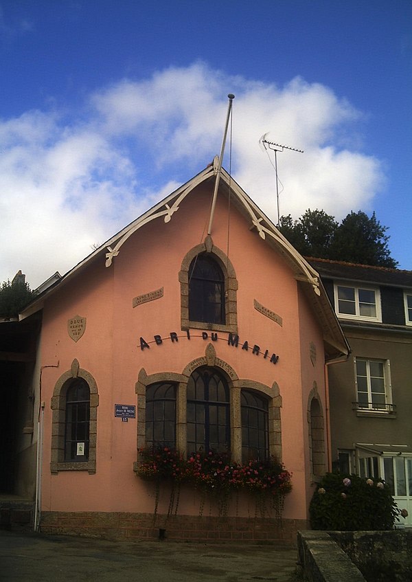
 L'Abri du Marin, in Combrit | |
| Coordinates: 47°53′16″N 4°09′32″W | |
| Country | France |
| Region | Brittany |
| Department | Finistère |
| Arrondissement | Quimper |
| Canton | Plonéour-Lanvern |
| Intercommunality | Pays Bigouden Sud |
| Government | |
| • Mayor (2020–2026) | Christian Loussouarn[1] |
Area 1 | 24.13 km2 (9.32 sq mi) |
| Population (2022)[2] | 4,271 |
| • Density | 180/km2 (460/sq mi) |
| Time zone | UTC+01:00 (CET) |
| • Summer (DST) | UTC+02:00 (CEST) |
| INSEE/Postal code | 29037 /29120 |
| Elevation | 0–62 m (0–203 ft) |
| 1 French Land Register data, which excludes lakes, ponds, glaciers > 1 km2 (0.386 sq mi or 247 acres) and river estuaries. | |
Artists such as Lucien Simon and Alfred Marzin painted many pictures of the area.
Population
Inhabitants of Combrit are called in French Combritois.
|
| ||||||||||||||||||||||||||||||||||||||||||||||||||||||||||||||||||||||||||||||||||||||||||||||||||||||||||||||||||
| Source: EHESS[3] and INSEE (1968-2017)[4] | |||||||||||||||||||||||||||||||||||||||||||||||||||||||||||||||||||||||||||||||||||||||||||||||||||||||||||||||||||
Breton language
The municipality launched a linguistic plan concerning the Breton language through Ya d'ar brezhoneg on 29 May 2008.
Sights
See also
References
External links
Wikiwand - on
Seamless Wikipedia browsing. On steroids.


