Chapel Street, Liverpool
Road in Liverpool, England From Wikipedia, the free encyclopedia
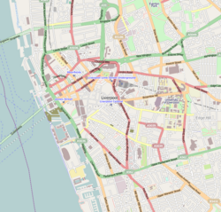
Chapel Street is a road in Liverpool, England. Situated in the city centre, it runs between Tithebarn Street and the Dock Road.
 Chapel Street, Liverpool | |
| Location | Liverpool city centre |
|---|---|
| Postal code | L2 |
| Coordinates | 53.4076°N 2.9961°W |
| Other | |
| Known for |
|
History
The street was one of the original seven streets that made up the medieval borough founded by King John in 1207, together with Water Street, Old Hall Street, Castle Street, High Street, Tithebarn Street and Dale Street.[1] The street originally contained a chapel by the quayside, known as St. Mary atte Key.[2] The first recorded reference to Chapel Street dates from 1368 on a deed for a burgage plot.
By 1355, the church was deemed too small for Liverpool's growing population and a new church was to be built on land given by the Duke of Lancaster to the burgesses. Known as Church of Our Lady and Saint Nicholas, it took over a century to build.
Over the course of time, parts of the church were demolished and rebuilt.[2] In February 1810, part of the spire collapsed into the knave below, killing 25 people.[3] The church was damaged during World War 2, and rebuilding of the church began 1949, with the new building being consecrated in October 1952.
Chapel Street was home to a boarding house and brothel in the 18th century.[4] The building was shut and converted into the Pig and Whistle pub in 1875. The pub takes its name from the crew bars on ships.
Listed buildings
Chapel Street contains several Grade II listed and buildings, these include:
References
Wikiwand - on
Seamless Wikipedia browsing. On steroids.

