Cap Ferret
Headland in Gironde, France From Wikipedia, the free encyclopedia
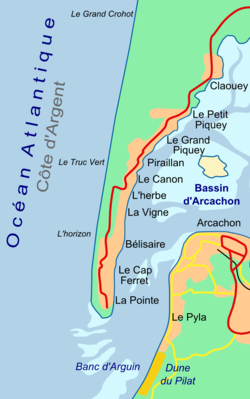
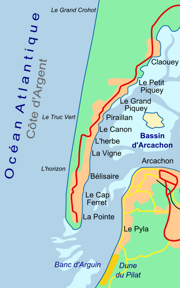
Cap Ferret (French pronunciation: [kap fɛʁɛ]; English: Cape Ferret) is a headland situated at the south end of the commune of Lège-Cap-Ferret in the Gironde department in the French southwestern Nouvelle-Aquitaine region. The headland takes the form of a spit, which separates the Atlantic Ocean from Arcachon Bay. At the same time, the entrance to Arcachon Bay separates Cap Ferret from the resort town of Arcachon.
Cap Ferret | |
|---|---|
 | |
| Coordinates: 44°38′46.28″N 1°14′56.11″W | |
| Location | Nouvelle-Aquitaine, France |
| Offshore water bodies | Atlantic Ocean, Arcachon Bay |
Cap Ferret is famous for its lighthouse and as an up-market resort that has retained its natural feel at the heart of the Landes of Gascony and the Pays de Buch. It is also famous for its ostréicole (oyster-farming) activity and numerous tasting sites.
Cap Ferret is accessible by road from the north, and by passenger ferry from Arcachon. The Tramway du Cap-Ferret, a diesel operated narrow-gauge railway, links the ferry landing at Bélisaire on the shores of Arcachon Bay with the beaches on the Atlantic coast.[1][2][3]
Gallery
- Cap Ferret looking north
- The lighthouse at Cap Ferret
- The Tramway du Cap-Ferret
References
External links
Wikiwand - on
Seamless Wikipedia browsing. On steroids.


