Blanford, Indiana
Census-designated place in Indiana, United States From Wikipedia, the free encyclopedia
Blanford is a census-designated place in Clinton Township, Vermillion County, in the U.S. state of Indiana.[3]
Blanford, Indiana | |
|---|---|
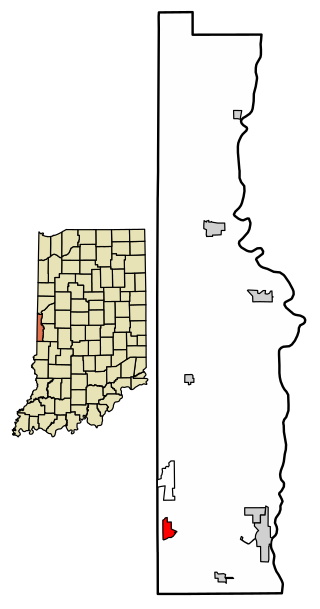
 Location of Blanford in Vermillion County, Indiana. | |
| Coordinates: 39°39′54″N 87°31′14″W | |
| Country | United States |
| State | Indiana |
| County | Vermillion |
| Township | Clinton |
| Area | |
• Total | 0.73 sq mi (1.90 km2) |
| • Land | 0.73 sq mi (1.90 km2) |
| • Water | 0.00 sq mi (0.00 km2) |
| Elevation | 571 ft (174 m) |
| Population (2020) | |
• Total | 280 |
| • Density | 381.47/sq mi (147.26/km2) |
| Time zone | UTC-5 (Eastern (EST)) |
| • Summer (DST) | UTC-4 (EDT) |
| ZIP code | 47842 |
| Area code | 765 |
| GNIS feature ID | 431177 |
History
Blanford was laid out in 1912.[4] The community was named for L. S. Blanford, who owned the land where the village is located.[5] A post office has been in operation at Blanford since 1915.[6]
In January 1923, there was an expulsion of the small African American community of the old mining town after an ultimatum was issued at a meeting of over 400 white residents for all African-Americans to leave town or turn over the African-American that had allegedly assaulted an 11 year old girl.[7] There was a shootout at a dance hall shortly afterwards where the Sheriff of Vermillion County, Harry Newland, was investigating shots fired at the last two African Americans remaining in town. Newland and his deputies shot and killed three white miners who opened fire on them.[8] Six white men were charged with inciting a riot after the shootout.[9]
Geography
Blanford is located at 39°39′54″N 87°31′14″W (39.665060, -87.520580).
Demographics
See also
References
Wikiwand - on
Seamless Wikipedia browsing. On steroids.
