Anmyeondo
Island in Taean County, South Korea From Wikipedia, the free encyclopedia
Anmyeondo (Korean: 안면도; Hanja: 安眠島; lit. rest peacefully island) is an island in Taean County, South Chungcheong Province, South Korea.[1]
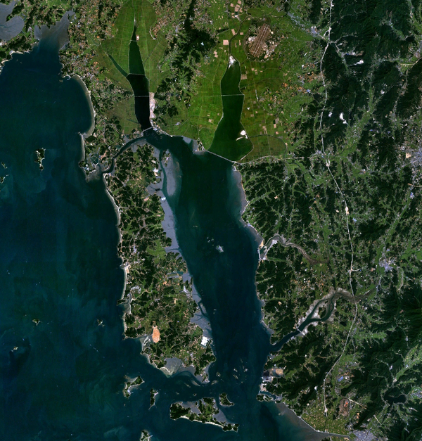
 Satellite view of the island | |
 | |
| Geography | |
|---|---|
| Coordinates | 36°30′N 126°22′E |
| Korean name | |
| Hangul | 안면도 |
| Hanja | 安眠島 |
| Revised Romanization | Anmyeondo |
| McCune–Reischauer | Anmyŏndo |
It is known for its nature, particularly that on its western coast, and its agriculture. Its local economy is predominantly based on agriculture; its fishing sector is relatively weaker.[1]
It was originally a peninsula. In 1638,[1] Yeonguijeong Kim Yuk ordered the flooding of the area between Changgiri (Anmyeoneup) and Sinonri (Nammyeon) to protect tax sent to Hanyang (now Seoul) from plunder by Japanese pirates. In 1970, the Anmyeongyo bridge (length 208.5 metres) was constructed to connect the island to the mainland.[2]
References
Wikiwand - on
Seamless Wikipedia browsing. On steroids.
