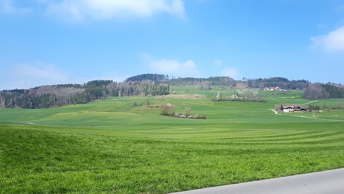
The Stierenberg (872 m) is a wooded mountain north of the Alps, located between the cantons of Aargau and Lucerne, with the summit being within the canton of Aargau. The Stierenberg is the highest summit between the valleys of the Suhre and Aabach.
| Stierenberg | |
|---|---|
 Stierenberg seen from Rickenbach. | |
| Highest point | |
| Elevation | 872 m (2,861 ft) |
| Prominence | 332 m (1,089 ft)[1] |
| Parent peak | Napf |
| Isolation | 10.3 km (6.4 mi)[2] |
| Coordinates | 47°14′18″N 8°09′32″E |
| Geography | |
| Location | Aargau, Switzerland (near the Lucerne border) |
References
External links
Wikiwand in your browser!
Seamless Wikipedia browsing. On steroids.
Every time you click a link to Wikipedia, Wiktionary or Wikiquote in your browser's search results, it will show the modern Wikiwand interface.
Wikiwand extension is a five stars, simple, with minimum permission required to keep your browsing private, safe and transparent.

