Saint-Maur-des-Bois
Commune in Normandy, France From Wikipedia, the free encyclopedia
Saint-Maur-des-Bois (French pronunciation: [sɛ̃ mɔʁ de bwa]) is a commune in the Manche department in Normandy in north-western France, close to the border with the Calvados department.[3]
Saint-Maur-des-Bois | |
|---|---|
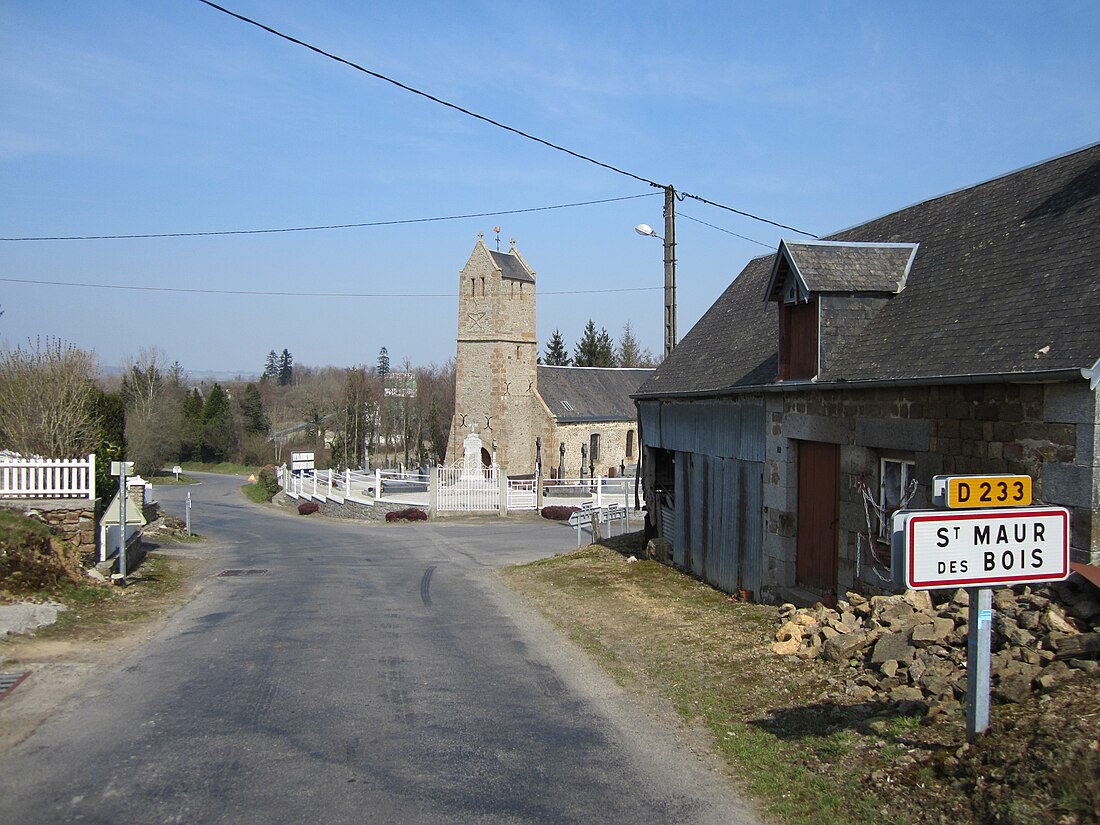
 The village and its church | |
| Coordinates: 48°49′23″N 1°09′22″W | |
| Country | France |
| Region | Normandy |
| Department | Manche |
| Arrondissement | Avranches |
| Canton | Villedieu-les-Poêles-Rouffigny |
| Government | |
| • Mayor (2020–2026) | Sylvie Marie[1] |
| Area 1 | 4.97 km2 (1.92 sq mi) |
| Population (2021)[2] | 155 |
| • Density | 31/km2 (81/sq mi) |
| Time zone | UTC+01:00 (CET) |
| • Summer (DST) | UTC+02:00 (CEST) |
| INSEE/Postal code | 50521 /50800 |
| Elevation | 129–239 m (423–784 ft) (avg. 170 m or 560 ft) |
| 1 French Land Register data, which excludes lakes, ponds, glaciers > 1 km2 (0.386 sq mi or 247 acres) and river estuaries. | |
It takes its name from Saint Maurus to whom the parish church is dedicated.
See also
References
Wikiwand in your browser!
Seamless Wikipedia browsing. On steroids.
Every time you click a link to Wikipedia, Wiktionary or Wikiquote in your browser's search results, it will show the modern Wikiwand interface.
Wikiwand extension is a five stars, simple, with minimum permission required to keep your browsing private, safe and transparent.


