
Puerto Rico Highway 212
Highway in Puerto Rico / From Wikipedia, the free encyclopedia
Dear Wikiwand AI, let's keep it short by simply answering these key questions:
Can you list the top facts and stats about Puerto Rico Highway 212?
Summarize this article for a 10 year old
SHOW ALL QUESTIONS
Puerto Rico Highway 212 (PR-212) is a north–south bypass located south of downtown Isabela, Puerto Rico.[3] This road extends from the junction of PR-2 with PR-4494 to PR-4472, near PR-112, and is known as Carretera Santiago Polanco Abreu.[1]
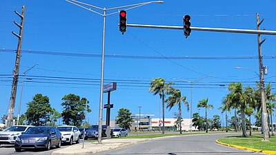 Southern terminus of PR-212

Quick Facts Highway 212, Route information ...
Highway 212 | ||||
|---|---|---|---|---|
| Ruta 212 | ||||
| Carretera Santiago Polanco Abreu[1] | ||||
| Route information | ||||
| Maintained by Puerto Rico DTPW | ||||
| Length | 2.6 km[2] (1.6 mi) | |||
| Major junctions | ||||
| South end | ||||
| North end | ||||
| Location | ||||
| Country | United States | |||
| Territory | Puerto Rico | |||
| Municipalities | Isabela | |||
| Highway system | ||||
| ||||

Close