Loading AI tools
Geographical region of Albania From Wikipedia, the free encyclopedia
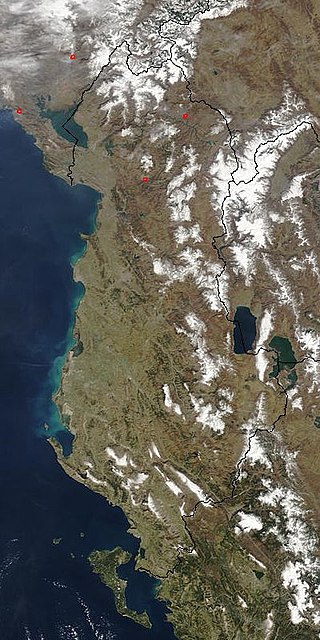
The Northern Mountain Region (Albanian: Krahina Malore Veriore) is a geographical region in northern Albania.[1] It is one of the four mountain regions of Albania, the others being Central Mountain Range, Southern Mountain Range, and Western Lowlands. The northern range encompasses the Albanian Alps extending from the Lake Shkodër shared with Montenegro in the northwest through the Valbonë Valley to the Drin Valley in the east.[2] The area falls within the Dinaric Mountains mixed forests and Balkan mixed forests terrestrial ecoregions of the Palearctic Temperate broadleaf and mixed forests.

Inside the Northern Mountain Range, there are two national parks and a nature reserve, namely Theth National Park, Valbonë Valley National Park and Gashi River Nature Reserve. The International Union for Conservation of Nature (IUCN) has listed the nature reserve as Category I, while the national parks as Category II. In 2017, the Gashi River was declared a UNESCO World Heritage Site as part of the Primeval beech forests of the Carpathians and other regions of Europe.

The composition of the great tectonic units reflects the history of the formation of the Albanian Alps. The Albanian Alps (Bjeshkët e Nemuna or Prokletije) are the southernmost and highest part of the Dinaric Alps. However, Albania encompasses the significant portion of the Albanian Alps with a surface area of 2.240 square kilometres (0.865 sq mi). They extend more than 64 kilometres (40 mi) from Lake Shkodër in the west along the border between Albania and Montenegro towards to Kosovo in the east.
Seamless Wikipedia browsing. On steroids.
Every time you click a link to Wikipedia, Wiktionary or Wikiquote in your browser's search results, it will show the modern Wikiwand interface.
Wikiwand extension is a five stars, simple, with minimum permission required to keep your browsing private, safe and transparent.