Loading AI tools
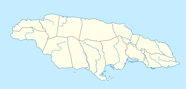
The Guava River rises just north of the Grand Ridge of the Blue Mountains on the border of Portland Parish in Jamaica.[1] From here it runs east then north and then east again to its confluence with the Rio Grande.[1]
| Guava River | |
|---|---|
 | |
| Location | |
| Country | Jamaica |
| Physical characteristics | |
| Source | |
| • coordinates | 18.045461°N 76.501665°W[1] |
| • elevation | 3,000 feet (910 m)[1] |
| Mouth | |
• coordinates | 18.105382°N 76.457892°W[1] |
• elevation | 100 feet (30 m)[1] |
| Basin features | |
| Tributaries | |
| • left | Three unnamed[1] |
| • right | Two unnamed[1] |
As of 2010[update] there are no roads or settlements visible anywhere along the river's length on satellite imagery[2] or on the earlier maps.[1]
Wikiwand in your browser!
Seamless Wikipedia browsing. On steroids.
Every time you click a link to Wikipedia, Wiktionary or Wikiquote in your browser's search results, it will show the modern Wikiwand interface.
Wikiwand extension is a five stars, simple, with minimum permission required to keep your browsing private, safe and transparent.
