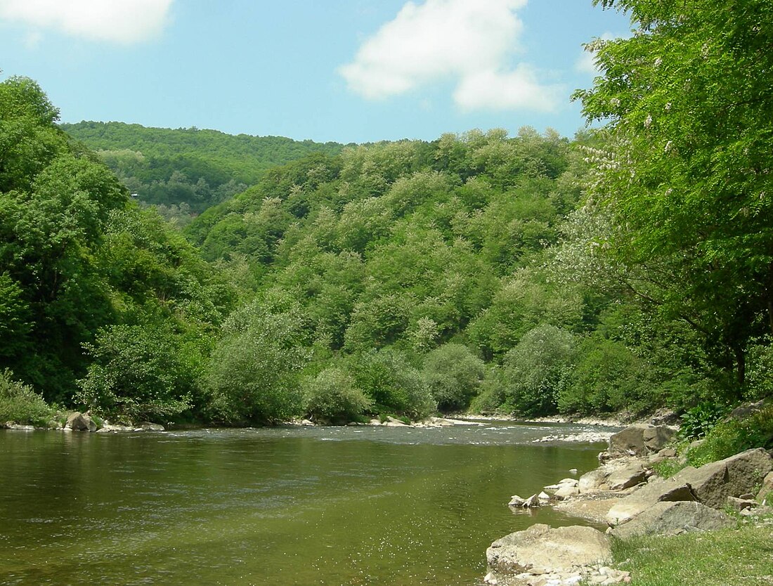
The Dzirula (Georgian: ძირულა) is a river of Georgia. It is 83 km (52 mi) long, and has a drainage basin of 1,270 km2 (490 sq mi).[1] It is a right tributary of the Qvirila, which it joins east of the town Zestaponi.
References
Wikiwand in your browser!
Seamless Wikipedia browsing. On steroids.
Every time you click a link to Wikipedia, Wiktionary or Wikiquote in your browser's search results, it will show the modern Wikiwand interface.
Wikiwand extension is a five stars, simple, with minimum permission required to keep your browsing private, safe and transparent.

