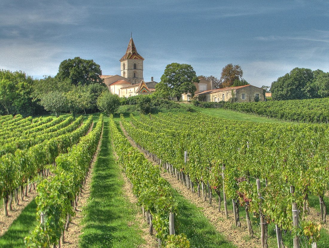
Cars, Gironde
Commune in Nouvelle-Aquitaine, France From Wikipedia, the free encyclopedia
Cars is a commune in the Gironde department in Nouvelle-Aquitaine in southwestern France.
Cars | |
|---|---|
 The vineyards and church in Cars | |
| Coordinates: 45°07′45″N 0°37′06″W | |
| Country | France |
| Region | Nouvelle-Aquitaine |
| Department | Gironde |
| Arrondissement | Blaye |
| Canton | L'Estuaire |
| Government | |
| • Mayor (2020–2026) | Xavier Zorrilla[1] |
| Area 1 | 11.1 km2 (4.3 sq mi) |
| Population (2021)[2] | 1,211 |
| • Density | 110/km2 (280/sq mi) |
| Time zone | UTC+01:00 (CET) |
| • Summer (DST) | UTC+02:00 (CEST) |
| INSEE/Postal code | 33100 /33390 |
| Elevation | 17–71 m (56–233 ft) (avg. 43 m or 141 ft) |
| 1 French Land Register data, which excludes lakes, ponds, glaciers > 1 km2 (0.386 sq mi or 247 acres) and river estuaries. | |
Population
| Year | Pop. | ±% |
|---|---|---|
| 1962 | 1,160 | — |
| 1968 | 1,255 | +8.2% |
| 1975 | 1,178 | −6.1% |
| 1982 | 1,191 | +1.1% |
| 1990 | 1,186 | −0.4% |
| 1999 | 1,189 | +0.3% |
| 2008 | 1,171 | −1.5% |
Geography
Cars is located in the Blaye arrondissement near the intersection of Routes D133 and D937, about 4 km east of Blaye on the Gironde River.
See also
References
Wikiwand in your browser!
Seamless Wikipedia browsing. On steroids.
Every time you click a link to Wikipedia, Wiktionary or Wikiquote in your browser's search results, it will show the modern Wikiwand interface.
Wikiwand extension is a five stars, simple, with minimum permission required to keep your browsing private, safe and transparent.


