Arrouède
Commune in Occitania, France From Wikipedia, the free encyclopedia
Arrouède (French pronunciation: [aʁwɛd]; Occitan: Arroeda) is a commune in the Gers department in southwestern France.
Arrouède | |
|---|---|
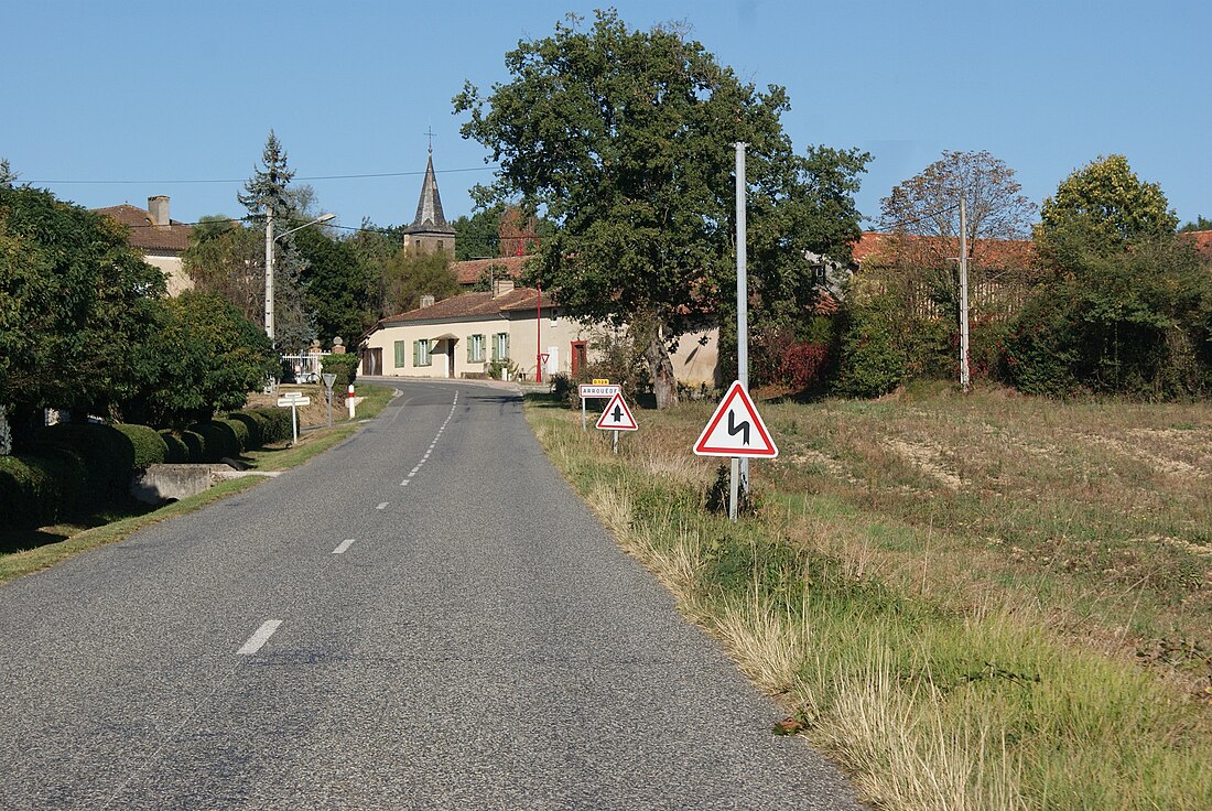
 The main road the D128 | |
| Coordinates: 43°21′38″N 0°35′13″E | |
| Country | France |
| Region | Occitania |
| Department | Gers |
| Arrondissement | Mirande |
| Canton | Astarac-Gimone |
| Intercommunality | CC Val Gers |
| Government | |
| • Mayor (2020–2026) | Christophe Séreuse[1] |
| Area 1 | 6.33 km2 (2.44 sq mi) |
| Population (2021)[2] | 87 |
| • Density | 14/km2 (36/sq mi) |
| Time zone | UTC+01:00 (CET) |
| • Summer (DST) | UTC+02:00 (CEST) |
| INSEE/Postal code | 32010 /32140 |
| Elevation | 222–327 m (728–1,073 ft) (avg. 321 m or 1,053 ft) |
| 1 French Land Register data, which excludes lakes, ponds, glaciers > 1 km2 (0.386 sq mi or 247 acres) and river estuaries. | |
Geography

Population
| Year | Pop. | ±% p.a. |
|---|---|---|
| 1968 | 94 | — |
| 1975 | 81 | −2.10% |
| 1982 | 77 | −0.72% |
| 1990 | 70 | −1.18% |
| 1999 | 78 | +1.21% |
| 2009 | 87 | +1.10% |
| 2014 | 101 | +3.03% |
| 2020 | 89 | −2.09% |
| Source: INSEE[3] | ||
See also
References
Wikiwand in your browser!
Seamless Wikipedia browsing. On steroids.
Every time you click a link to Wikipedia, Wiktionary or Wikiquote in your browser's search results, it will show the modern Wikiwand interface.
Wikiwand extension is a five stars, simple, with minimum permission required to keep your browsing private, safe and transparent.


