Top-Fragen
Zeitleiste
Chat
Kontext
Roupy
französische Gemeinde im Département Aisne Aus Wikipedia, der freien Enzyklopädie
Remove ads
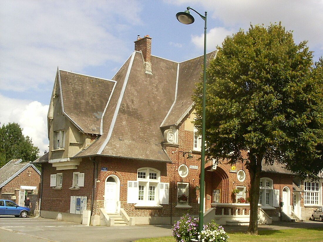
Roupy ist eine französische Gemeinde mit 238 Einwohnern (Stand 1. Januar 2022) im Département Aisne in der Region Hauts-de-France; sie gehört zum Arrondissement Saint-Quentin und zum Kanton Saint-Quentin-1.
Remove ads
Geografie
Die Gemeinde Roupy liegt auf einem Plateau über dem Tal der Somme, acht Kilometer südwestlich von Saint-Quentin. Nachbargemeinden von Roupy sind Étreillers im Norden, Savy im Nordosten, Fontaine-lès-Clercs im Osten, Seraucourt-le-Grand und Happencourt im Süden, Fluquières im Westen sowie Vaux-en-Vermandois im Nordwesten.
Bevölkerungsentwicklung
| Jahr | 1962 | 1968 | 1975 | 1982 | 1990 | 1999 | 2006 | 2012 | 2022 |
| Einwohner | 244 | 255 | 244 | 240 | 295 | 262 | 251 | 229 | 238 |
| Quellen: Cassini und INSEE | |||||||||
Sehenswürdigkeiten
- Art-déco-Kirche Saint-Remi
- Kirche Saint-Remi
- Innenansicht der Kirche
- Ehemaliger Bahnhof Roupy - Vaux
- Britische Soldatengräber auf dem kommunalen Friedhof
- Gefallenendenkmal
Weblinks
Commons: Roupy – Sammlung von Bildern
Remove ads
Wikiwand - on
Seamless Wikipedia browsing. On steroids.
Remove ads


