Col de Montvoie
Aus Wikipedia, der freien Enzyklopädie
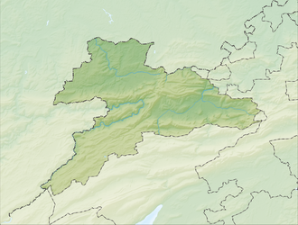
Der Col de Montvoie (früher auch: Col des Chainions) ist ein Pass im Schweizer Kanton Jura in der Gemeinde Fontenais zwischen Pruntrut (Schweiz) und Glère (Frankreich). Der Pass verbindet die Ajoie mit dem Doubstal. Die Passhöhe liegt auf 858 m ü. M. am Westfuss des Hügels «Les Chainions» (909 m) und durchschneidet die Lomontkette.[1][2]
| Col de Montvoie | |||
|---|---|---|---|
 | |||
| Himmelsrichtung | Nord | Südwest | |
| Passhöhe | 858 m ü. M. | ||
| Region | Kanton Jura | Region Bourgogne-Franche-Comté | |
| Wasserscheide | Allaine, Doubs | Doubs | |
| Talorte | Pruntrut | Glère | |
| Ausbau | Passstrasse | ||
| Gebirge | Jura | ||
| Profil | |||
| Ø-Steigung | 4,6 % (415 m / 9 km) |
4,1 % (447 m / 11 km) | |
| Karte (Jura) | |||
|
| |||
| Koordinaten | 570752 / 246655 | ||
Weblinks
Einzelnachweise
Wikiwand - on
Seamless Wikipedia browsing. On steroids.

