File:LocationAfrica.png
From Wikipedia, the free encyclopedia
Kerçek fayl (2.759 × 1.404 piksel, fayl büyükligi: 99 KB, MIME çeşiti: image/png)
This file is from Wikimedia Commons and may be used by other projects. The description on its file description page there is shown below.

|
File:Location of Africa.svg is a vector version of this file. It should be used in place of this PNG file when not inferior.
File:LocationAfrica.png → File:Location of Africa.svg
For more information, see Help:SVG.
|
 |
Faylğa ait qısqa tarif
| TasvirLocationAfrica.png |
Deutsch: Weltkarte mit Fokus auf Afrika
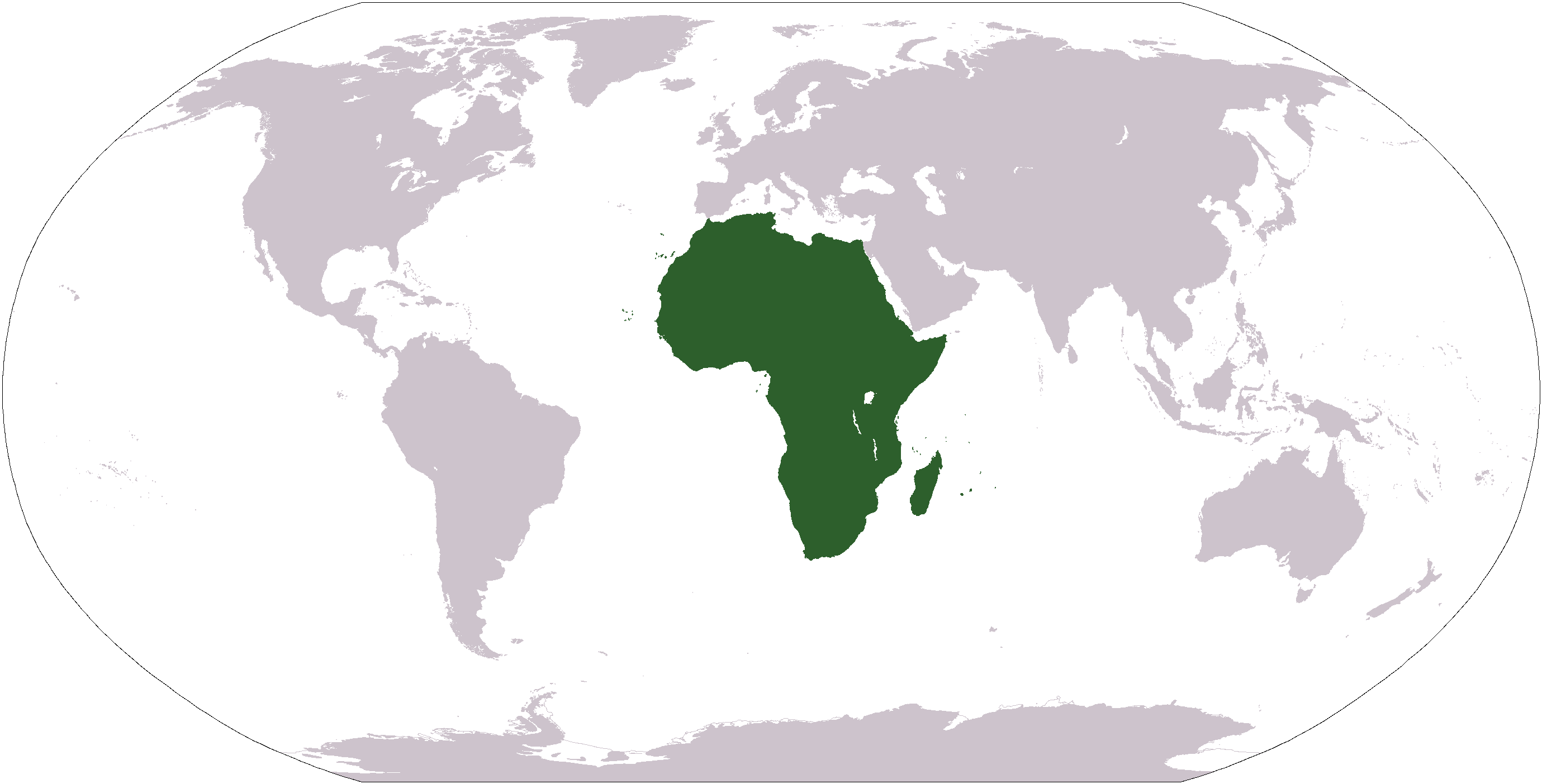
English: World map depicting Africa
Esperanto: Mondmapo bildiganta Afrikon
Español: Ubicación de África |
| Menba | map adapted from PDF world map at CIA World Fact Book |
| Yaratıcı | see above |
| Other versions | Derivative works of this file: Wikinews Afryka mapa.png |
Litsenziyalama
| Public domainPublic domainfalsefalse |
This image is in the public domain because it contains materials that originally came from the United States Central Intelligence Agency's World Factbook.
Bahasa Indonesia ∙ čeština ∙ Deutsch ∙ eesti ∙ English ∙ español ∙ Esperanto ∙ français ∙ galego ∙ hrvatski ∙ italiano ∙ Nederlands ∙ norsk nynorsk ∙ polski ∙ português ∙ sicilianu ∙ slovenščina ∙ suomi ∙ Türkçe ∙ Zazaki ∙ беларуская (тарашкевіца) ∙ македонски ∙ русский ∙ српски / srpski ∙ українська ∙ ქართული ∙ বাংলা ∙ தமிழ் ∙ മലയാളം ∙ 한국어 ∙ 日本語 ∙ 中文 ∙ 中文(简体) ∙ 中文(繁體) ∙ العربية ∙ +/− |
 |
Captions
Items portrayed in this file
depicts English
Faylnıñ keçmişi
Faylnıñ kerekli anki alını körmek içün tarihqa/saatqa basıñız.
| Tarih ve saat | Kiçik resim | En × boy | Qullanıcı | İzaat | |
|---|---|---|---|---|---|
| şimdiki | 12:34, 2008 s. yanvarniñ 19 | | 2.759 × 1.404 (99 KB) | F l a n k e r | Transparency |
| 05:15, 2006 s. yanvarniñ 22 |  | 2.759 × 1.404 (55 KB) | E Pluribus Anthony~commonswiki | Reverted to earlier revision | |
| 22:46, 2006 s. yanvarniñ 15 |  | 2.759 × 1.404 (84 KB) | Huhsunqu | ||
| 19:25, 2005 s. noyabrniñ 3 |  | 2.759 × 1.404 (55 KB) | E Pluribus Anthony~commonswiki | World map: Africa (location) | |
| 01:16, 2005 s. oktâbrniñ 8 |  | 2.759 × 1.404 (55 KB) | E Pluribus Anthony~commonswiki | World map: Africa (location) | |
| 15:54, 2005 s. aprelniñ 29 |  | 250 × 116 (11 KB) | Rex | Eerdere versie hersteld | |
| 15:20, 2005 s. aprelniñ 29 |  | 1.381 × 703 (16 KB) | Ghalas | Corrected version {{PD-USGov-CIA-WF}} | |
| 15:18, 2005 s. aprelniñ 29 |  | 1.381 × 703 (16 KB) | Ghalas | Corrected version {{PD-USGov-CIA-WF}} | |
| 15:06, 2005 s. aprelniñ 29 |  | 1.377 × 699 (16 KB) | Ghalas | Extracted from CIA World Factbook PDF world map, then rasterized and colored. {{PD-USGov-CIA-WF}} | |
| 06:39, 2005 s. yanvarniñ 9 |  | 250 × 116 (11 KB) | Tobias Conradi~commonswiki | from en:User:Morwen {{GFDL}} |
Fayl qullanıluvı
Bu 8 saifeler qullana bu fayldı:
Umumiy fayl qullanıluvı
Bu fayl aşağıdaki başqa vikilerde qullanıla:
- am.wikipedia.org leyhasında qullanıluvı
- ang.wikipedia.org leyhasında qullanıluvı
- arc.wikipedia.org leyhasında qullanıluvı
- ar.wikipedia.org leyhasında qullanıluvı
- البحر الأبيض المتوسط
- آسيا
- أوروبا
- قارة
- المحيط الهندي
- المحيط الهادئ
- القارة القطبية الجنوبية
- أوقيانوسيا
- أمريكا الشمالية
- أمريكا الجنوبية
- أوروبا الشرقية
- القطب الشمالي
- أوروبا الوسطى
- أوروبا الشمالية
- القوقاز
- شمال إفريقيا
- بوابة:مصر
- بحر
- المنطقة القطبية الجنوبية
- المحيط المتجمد الشمالي
- القرن الإفريقي
- غرب آسيا
- آسيا الوسطى
- جنوب آسيا
- شرق آسيا
- جنوب شرق آسيا
- المحيط المتجمد الجنوبي
- الكاريبي
View more global usage of this file.