Fayl:LocationAntarctica.png
From Wikipedia, the free encyclopedia
Kerçek fayl (2.759 × 1.404 piksel, fayl büyükligi: 50 KB, MIME çeşiti: image/png)
This file is from Wikimedia Commons and may be used by other projects. The description on its file description page there is shown below.

|
File:Antarctica Location.svg is a vector version of this file. It should be used in place of this PNG file when not inferior.
File:LocationAntarctica.png → File:Antarctica Location.svg
For more information, see Help:SVG.
|
 |
Faylğa ait qısqa tarif
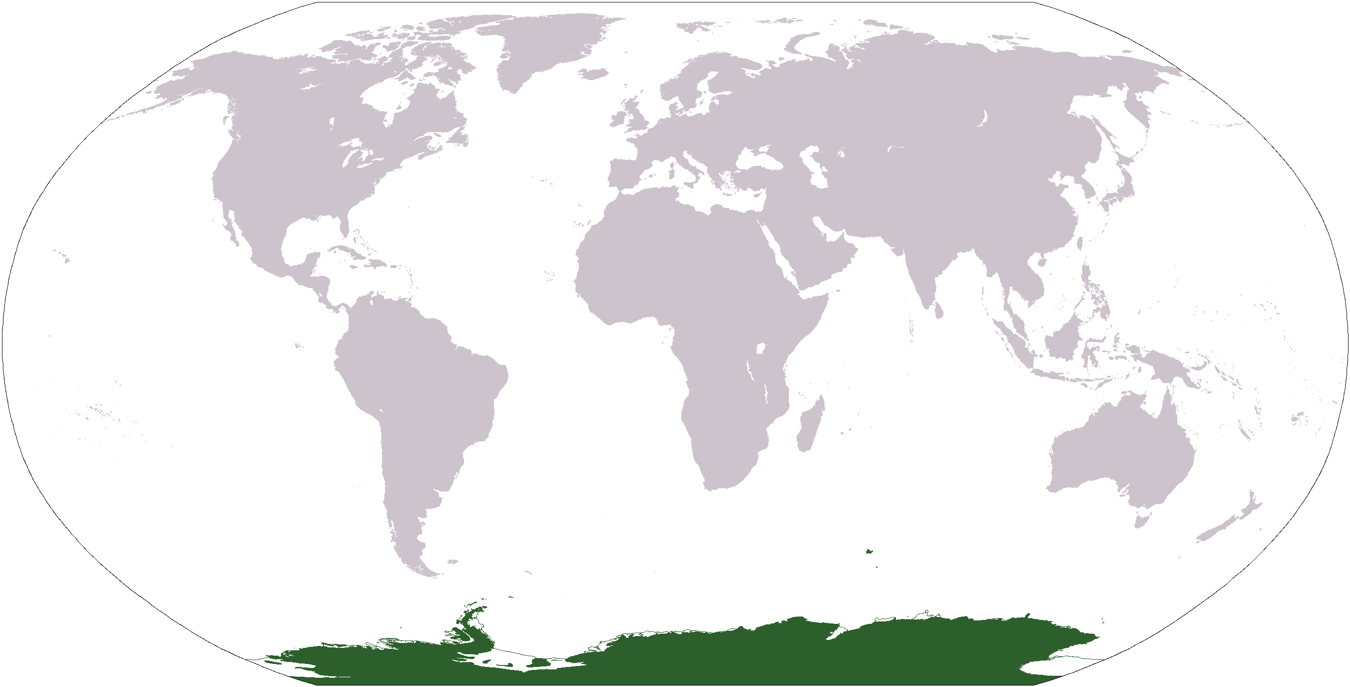
World map depicting Antarctica; map adapted from PDF world map at CIA World Fact Book.
Updated March 31, 2006 to remove green above 60°S line. in december there is 24 hours of sun light
Litsenziyalama
| Public domainPublic domainfalsefalse |
This image is in the public domain because it contains materials that originally came from the United States Central Intelligence Agency's World Factbook.
Bahasa Indonesia ∙ čeština ∙ Deutsch ∙ eesti ∙ English ∙ español ∙ Esperanto ∙ français ∙ galego ∙ hrvatski ∙ italiano ∙ Nederlands ∙ norsk nynorsk ∙ polski ∙ português ∙ sicilianu ∙ slovenščina ∙ suomi ∙ Türkçe ∙ Zazaki ∙ беларуская (тарашкевіца) ∙ македонски ∙ русский ∙ српски / srpski ∙ українська ∙ ქართული ∙ বাংলা ∙ தமிழ் ∙ മലയാളം ∙ 한국어 ∙ 日本語 ∙ 中文 ∙ 中文(简体) ∙ 中文(繁體) ∙ العربية ∙ +/− |
 |
Faylnıñ keçmişi
Faylnıñ kerekli anki alını körmek içün tarihqa/saatqa basıñız.
| Tarih ve saat | Kiçik resim | En × boy | Qullanıcı | İzaat | |
|---|---|---|---|---|---|
| şimdiki | 17:13, 2013 s. aprelniñ 23 | | 2.759 × 1.404 (50 KB) | User02062000 | |
| 17:10, 2013 s. aprelniñ 23 |  | 2.759 × 1.404 (50 KB) | User02062000 | Reverted to version as of 18:54, 20 December 2005 | |
| 12:37, 2008 s. yanvarniñ 19 |  | 2.759 × 1.404 (97 KB) | F l a n k e r | Transparency | |
| 01:04, 2006 s. martnıñ 31 |  | 2.759 × 1.404 (55 KB) | David Kernow~commonswiki | ||
| 18:54, 2005 s. dekabrniñ 20 |  | 2.759 × 1.404 (50 KB) | E Pluribus Anthony~commonswiki | World map: Antarctica (location) | |
| 12:38, 2005 s. aprelniñ 28 |  | 2.759 × 1.404 (39 KB) | Ghalas | Extracted from CIA World Factbook PDF world map, then rasterized and colored. {{PD-USGov-CIA-WF}} |
Fayl qullanıluvı
Bu 8 saifeler qullana bu fayldı:
Umumiy fayl qullanıluvı
Bu fayl aşağıdaki başqa vikilerde qullanıla:
- af.wikipedia.org leyhasında qullanıluvı
- am.wikipedia.org leyhasında qullanıluvı
- ang.wikipedia.org leyhasında qullanıluvı
- arc.wikipedia.org leyhasında qullanıluvı
- ar.wikipedia.org leyhasında qullanıluvı
- arz.wikipedia.org leyhasında qullanıluvı
- ba.wikipedia.org leyhasında qullanıluvı
- bcl.wikipedia.org leyhasında qullanıluvı
- be-tarask.wikipedia.org leyhasında qullanıluvı
- bjn.wikipedia.org leyhasında qullanıluvı
- bn.wikipedia.org leyhasında qullanıluvı
- bo.wikipedia.org leyhasında qullanıluvı
- bpy.wikipedia.org leyhasında qullanıluvı
- br.wikipedia.org leyhasında qullanıluvı
View more global usage of this file.
Resim detalleri
Faylda (adetince raqamlı kamera ve skanerlernen qoşulğan) ilâve malümatı bar. Eger bu fayl yaratılğandan soñ deñiştirilse edi, belki de bazı parametrler eskirdi.
| File change date and time | 06:52, 2005 s. dekabrniñ 20 |
|---|---|
| Horizontal resolution | 37 dpc |
| Vertical resolution | 37 dpc |