Paso Heywood
From Wikipedia, the free encyclopedia
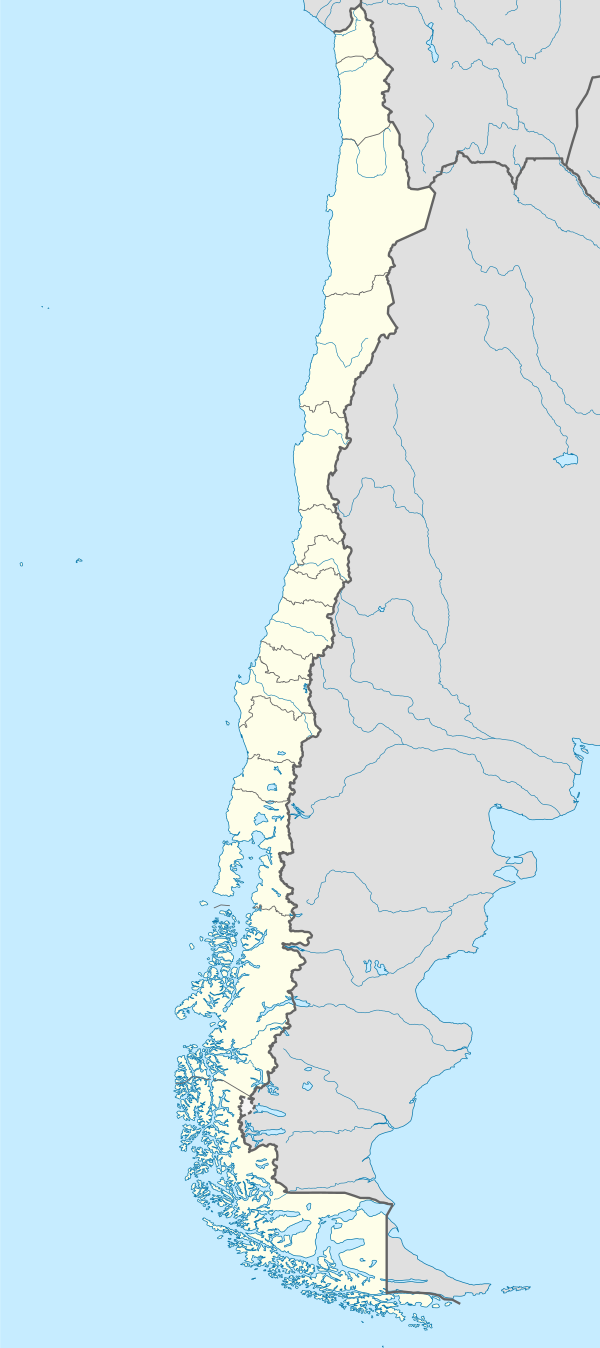
Agianan nga kadagatan ang Paso Heywood sa Tsile.[1] Nahimutang ni sa rehiyon sa Región de Magallanes y de la Antártica Chilena, sa habagatang bahin sa nasod, 2,000 km sa habagatan sa Santiago ang ulohan sa nasod.
Paghimo ni bot Lsjbot. |
| Paso Heywood | |
| Agianan nga kadagatan | |
| Nasod | |
|---|---|
| Rehiyon | Región de Magallanes y de la Antártica Chilena |
| Tiganos | 51.67621°S 74.31342°W |
| Timezone | BRT (UTC-3) |
| - summer (DST) | EDT (UTC-4) |
| GeoNames | 3888059 |
| ||||||||||||||||||||||||||||||||||||||||||||||||||||||||||||||||||||||||||||||||||||||||||||||||||||||||||||||||||||||||||||
Ang mga gi basihan niini
Wikiwand in your browser!
Seamless Wikipedia browsing. On steroids.
Every time you click a link to Wikipedia, Wiktionary or Wikiquote in your browser's search results, it will show the modern Wikiwand interface.
Wikiwand extension is a five stars, simple, with minimum permission required to keep your browsing private, safe and transparent.

