Le Boulay-Morin

From Wikipedia, the free encyclopedia

Le Boulay-Morinmap

Le Boulay-Morin ye una comuña francesa del departamentu d'Eure, na rexón de Normandía. Llenda con La Chapelle-du-Bois-des-Faulx, Dardez, Émalleville, Irreville, Normanville y Reuilly.

Datos rápidos Alministración, Tipu d'entidá ...
Le Boulay-Morin
Thumb
Thumb
Alministración
PaísBandera de Francia Francia
Organización territorial Francia metropolitana
RexónBandera de Normandía Normandía
Departamentu Eure
Distritu Distrito de Évreux (es) Traducir
Cantón Cantón de Évreux-Norte (es) Traducir
Tipu d'entidá comuña de Francia
Nome oficial Le Boulay-Morin (fr)[1]
Códigu postal 27930
Xeografía
Coordenaes 49°05′06″N 1°10′43″E
Thumb
Le Boulay-Morin
Le Boulay-Morin
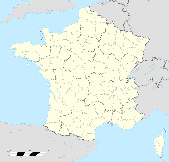
Le Boulay-Morin (Francia)
Thumb
Superficie 5.55 km²
Altitú 84 m[2] y 147 m[2]
Llenda con La Chapelle-du-Bois-des-Faulx, Dardez, Émalleville, Irreville, Normanville y Reuilly
Demografía
Población 824 hab. (1r xineru 2021)
- 384 homes (2017)

- 393 muyeres (2017)
Porcentaxe 100% de Cantón de Évreux-Norte (es) Traducir
Densidá 148,47 hab/km²
leboulaymorin.fr
Cambiar los datos en Wikidata
Zarrar

Tien una población de 824 hab. (1 xineru 2021)[3][4] y una superficie de 5,55[5] km².

Referencies

Enllaces esternos

Wikiwand in your browser!

Seamless Wikipedia browsing. On steroids.

Every time you click a link to Wikipedia, Wiktionary or Wikiquote in your browser's search results, it will show the modern Wikiwand interface.

Wikiwand extension is a five stars, simple, with minimum permission required to keep your browsing private, safe and transparent.