ܠܦܦܐ:Ausangate-hillside-MT.jpg
From Wikipedia, the free encyclopedia
ܥܓܪܐ ܕܓܠܚܐ: 800 × 516 ܦܩܣܠ. Other resolutions: 320 × 206 ܦܩܣܠ | 640 × 413 ܦܩܣܠ | 1,024 × 661 ܦܩܣܠ | 1,550 × 1,000 ܦܩܣܠ.
ܠܦܦܐ ܫܪܫܝܐ (1,550 × 1,000 ܦܩܣܠ، ܥܓܪܐ ܕܠܦܦܐ: 1.01 MB، ܐܕܫܐ ܕ MIME: image/jpeg)
This file is from Wikimedia Commons and may be used by other projects. The description on its file description page there is shown below.
ܦܣܝܩܬ̈ܐ
| DescriptionAusangate-hillside-MT.jpg |
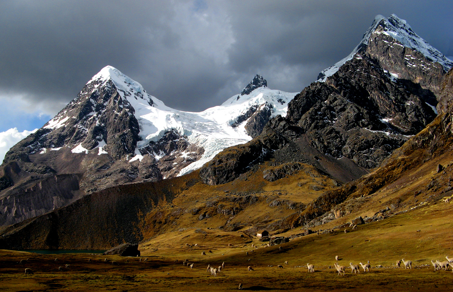
English: Hillside of peruvian Ausangate mountain.
Čeština: Úbočí peruánské hory Ausangate.
Deutsch: Standort südlich des Lago Uchuy Pucacocha; Blick nach Norden auf die westlichen Vorberge des Nevado Ausangate |
| ܣܝܩܘܡܐ | |
| ܡܒܘܥܐ | Own work |
| ܣܝܘܡܐ | Marturius |
| Camera location | 13° 48′ 51.2″ S, 71° 16′ 50.73″ W | View this and other nearby images on: OpenStreetMap |
|---|
ܦܣܣܐ
I, the copyright holder of this work, hereby publish it under the following licenses:
This file is licensed under the Creative Commons Attribution-Share Alike 3.0 Unported license.
- You are free:
- to share – to copy, distribute and transmit the work
- to remix – to adapt the work
- Under the following conditions:
- attribution – You must give appropriate credit, provide a link to the license, and indicate if changes were made. You may do so in any reasonable manner, but not in any way that suggests the licensor endorses you or your use.
- share alike – If you remix, transform, or build upon the material, you must distribute your contributions under the same or compatible license as the original.

|
Permission is granted to copy, distribute and/or modify this document under the terms of the GNU Free Documentation License, Version 1.2 or any later version published by the Free Software Foundation; with no Invariant Sections, no Front-Cover Texts, and no Back-Cover Texts. A copy of the license is included in the section entitled GNU Free Documentation License.http://www.gnu.org/copyleft/fdl.htmlGFDLGNU Free Documentation Licensetruetrue |
You may select the license of your choice.
Captions
Add a one-line explanation of what this file represents
سلسلة جبال الانديز هي اطول سلسلة في العالم
Items portrayed in this file
depicts English
creator English
some value
copyright status English
copyrighted English
inception English
2008
source of file English
original creation by uploader English
captured with English
Canon PowerShot A710 IS English
coordinates of the point of view English
13°48'51.196"S, 71°16'50.729"W
exposure time English
0.0015625 ܪܦܦܐ
f-number English
4
focal length English
5.8 millimetre
media type English
image/jpeg
checksum English
bfbb99895b81c3233bab4dfe8368bda9e764a6bb
data size English
1,058,632 byte
height English
1,000 pixel
width English
1,550 pixel
ܬܫܥܝܬܐ ܕܠܦܦܐ
Click on a date/time to view the file as it appeared at that time.
| ܣܝܩܘܡܐ/ܙܒܢܐ | ܨܘܪܬܐ ܙܥܘܪܬܐ | ܩܝܡ̈ܐ | ܡܦܠܚܢܐ | ܥܘܩܒܐ | |
|---|---|---|---|---|---|
| ܗܫܝܐ | 17:18, 26 ܒܟܢܘܢ ܐܚܪܝ 2010 | | 1,550 × 1,000 (1.01 MB) | Marturius | {{Information |Description={{en|1=Hillside of peruvian Ausangate mountain.}} {{cs|1=Úbočí peruánské hory Ausangate.}} |Source={{own}} |Author=Marturius |Date=2008 |Permission= |other_versions= }} Category:Peruvian mountains [[ |
ܡܦܠܚܬܐ ܕܠܦܦܐ
ܦܐܬܐ ܗܕܐ ܐܣܪ ܥܡ ܗܢܐ ܠܦܦܐ:
ܡܦܠܚܢܘܬܐ ܓܘܢܝܬܐ ܕܠܦܦܐ
The following other wikis use this file:
- Usage on ang.wikipedia.org
- Usage on ar.wikipedia.org
- Usage on ay.wikipedia.org
- Usage on bs.wikipedia.org
- Usage on ceb.wikipedia.org
- Usage on cy.wikipedia.org
- Usage on en.wikipedia.org
- Andes
- Llama
- Quechuan languages
- Nevado del Ruiz
- Misti
- Tungurahua
- Andean Community
- Chimborazo
- Cotopaxi
- Pichincha (volcano)
- Mérida (state)
- Táchira
- Trujillo (state)
- Vicuña
- Illiniza
- Cayambe (volcano)
- Siula Grande
- Cordillera Huayhuash
- Alpamayo
- Andean mountain cat
- Spectacled bear
- Cordillera Blanca
- Cerro Escorial
- Huascarán
- Telmatobius
- Sangay
- Quechua people
- Huayna Potosí
- Antisana
- Reventador
- Fitz Roy
- El Chaltén
- University of the Andes (Venezuela)
- Lake Junin
View more global usage of this file.
ܓܠܝܬ̈ܐ ܕܡܝܛܐ
This file contains additional information, probably added from the digital camera or scanner used to create or digitize it.
If the file has been modified from its original state, some details may not fully reflect the modified file.
| Camera manufacturer | Canon |
|---|---|
| Camera model | Canon PowerShot A710 IS |
| Exposure time | 1/640 sec (0.0015625) |
| F Number | f/4 |
| Date and time of data generation | 15:20, 22 ܒܬܡܘܙ 2008 |
| Lens focal length | 5.8 mm |
| Orientation | Normal |
| Horizontal resolution | 1,656 dpi |
| Vertical resolution | 1,656 dpi |
| Software used | Adobe Photoshop CS Windows |
| File change date and time | 18:05, 26 ܒܟܢܘܢ ܐܚܪܝ 2010 |
| Y and C positioning | Centered |
| Exif version | 2.2 |
| Date and time of digitizing | 15:20, 22 ܒܬܡܘܙ 2008 |
| Image compression mode | 3 |
| APEX shutter speed | 9.3125 |
| APEX aperture | 4 |
| APEX exposure bias | 0 |
| Maximum land aperture | 2.96875 APEX (f/2.8) |
| Metering mode | Pattern |
| Flash | Flash did not fire, auto mode |
| Color space | sRGB |
| Focal plane X resolution | 13,653.333333333 |
| Focal plane Y resolution | 13,633.136094675 |
| Focal plane resolution unit | inches |
| Sensing method | One-chip color area sensor |
| Custom image processing | Normal process |
| Exposure mode | Auto exposure |
| White balance | Auto white balance |
| Digital zoom ratio | 1 |
| Scene capture type | Standard |
Retrieved from "https://arc.wikipedia.org/wiki/ܠܦܦܐ:Ausangate-hillside-MT.jpg"