File:Israel_outline_north_haifa.png
From Wikipedia, the free encyclopedia
Size of this preview: 800 × 523 pixels. Other resolutions: 320 × 209 pixels | 640 × 419 pixels | 1,024 × 670 pixels | 1,347 × 881 pixels.
Original file (1,347 × 881 pixels, file size: 245 KB, MIME type: image/png)
| This is a file from the Wikimedia Commons. Information from its description page there is shown below. Commons is a freely licensed media file repository. You can help. |
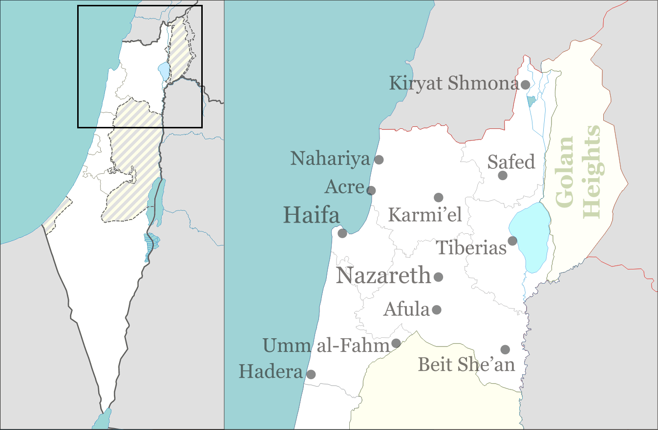
| DescriptionIsrael outline north haifa.png | North and Haifa districts of Israel for pushpin maps. |
| Date | |
| Source | Own work |
| Author | Ynhockey |
I, the copyright holder of this work, hereby publish it under the following licenses:

|
Permission is granted to copy, distribute and/or modify this document under the terms of the GNU Free Documentation License, Version 1.2 or any later version published by the Free Software Foundation; with no Invariant Sections, no Front-Cover Texts, and no Back-Cover Texts. A copy of the license is included in the section entitled GNU Free Documentation License.http://www.gnu.org/copyleft/fdl.htmlGFDLGNU Free Documentation Licensetruetrue |
| This file is licensed under the Creative Commons Attribution-Share Alike 3.0 Unported license. | ||
| ||
| This licensing tag was added to this file as part of the GFDL licensing update.http://creativecommons.org/licenses/by-sa/3.0/CC BY-SA 3.0Creative Commons Attribution-Share Alike 3.0truetrue |
You may select the license of your choice.
Captions
Add a one-line explanation of what this file represents
Items portrayed in this file
depicts
3 October 2008
File history
Click on a date/time to view the file as it appeared at that time.
| Date/Time | Thumbnail | Dimensions | User | Comment | |
|---|---|---|---|---|---|
| current | 17:31, 1 September 2016 | | 1,347 × 881 (245 KB) | Number 57 | Updated Israel map |
| 20:49, 4 October 2008 |  | 1,347 × 881 (220 KB) | Ynhockey | Clearer image boundaries | |
| 13:53, 3 October 2008 |  | 1,386 × 906 (251 KB) | Ynhockey | Cropped - though I already had, must've been a different version. | |
| 13:51, 3 October 2008 |  | 1,645 × 3,149 (435 KB) | Ynhockey | {{Information |Description=North and Haifa districts of Israel for pushpin maps. |Source=self-made |Date=2008-10-03 |Author= Ynhockey |Permission= |other_versions= }} {{GFDL-self}} Category:Maps of Israel |
File usage
The following pages on the English Wikipedia use this file (pages on other projects are not listed):
- 2002 Hadera attack
- Ein Shemer Airfield
- Haifa
- Khirbat Din'ila
- Matza restaurant suicide bombing
- Murder of Oleg Shaichat
- Nazareth
- Ramat David Airbase
- Shfaram synagogue
- Usha (ancient city)
- Wikipedia talk:WikiProject Israel Palestine Collaboration/Current Article Issues/Archive 8
- File talk:Israel outline north haifa.png
- Module:Location map/data/Israel north haifa
- Module:Location map/data/Israel north haifa/doc
Global file usage
The following other wikis use this file:
- Usage on azb.wikipedia.org
- Usage on br.wikipedia.org
- Usage on bxr.wikipedia.org
- Usage on ca.wikipedia.org
- Usage on de.wikipedia.org
- Usage on el.wikipedia.org
- Usage on eo.wikipedia.org
- Usage on fa.wikipedia.org
- Usage on fy.wikipedia.org
- Usage on hr.wikipedia.org
- Usage on id.wikipedia.org
- Usage on ja.wikipedia.org
- Usage on ko.wikipedia.org
- Usage on li.wikipedia.org
- Usage on mg.wikipedia.org
- Usage on ml.wikipedia.org
- Usage on mn.wikipedia.org
- Usage on my.wikipedia.org
- Usage on sh.wikipedia.org
- Usage on si.wikipedia.org
- Usage on ur.wikipedia.org
- Usage on uz.wikipedia.org
- Usage on vi.wikipedia.org
Metadata
This file contains additional information, probably added from the digital camera or scanner used to create or digitize it.
If the file has been modified from its original state, some details may not fully reflect the modified file.
| Horizontal resolution | 37.8 dpc |
|---|---|
| Vertical resolution | 37.8 dpc |
Retrieved from "https://en.wikipedia.org/wiki/File:Israel_outline_north_haifa.png"