Loading AI tools
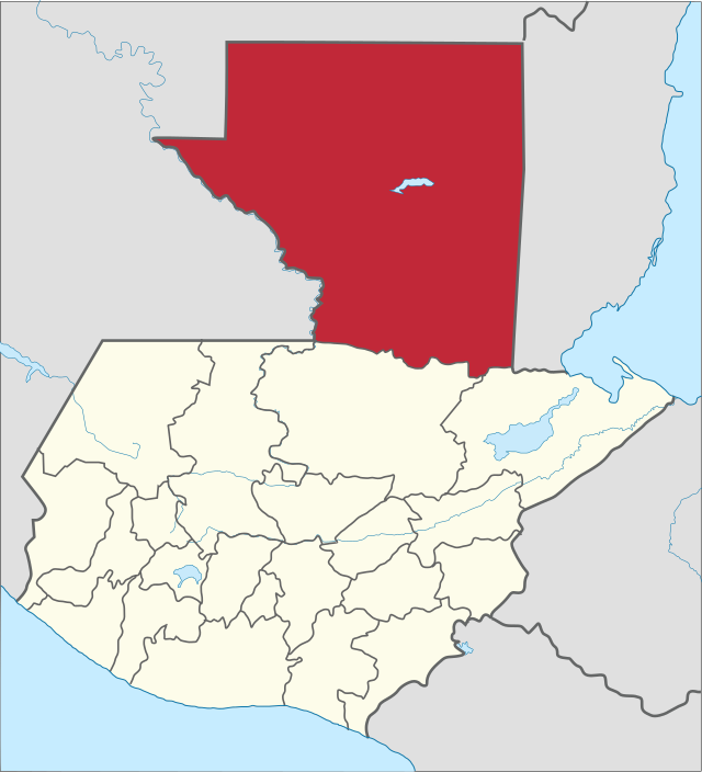
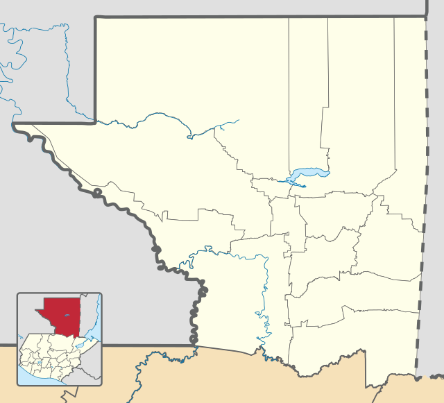
Module:Location map/data/Guatemala Petén是用於在貝登省的等距長方投影地圖上疊加標記和標籤的位置圖定義。標記是按默認的地圖或類似地圖圖像上的緯度和經度坐標放置。
| 此頁面是Module:Location map/data/Guatemala Petén的模块文档。 此頁面可能包含了模板的使用說明、分類和其他内容。 |
| 名稱 | 貝登省 | |||
|---|---|---|---|---|
| 邊界經緯 | ||||
| 17.906514 | ||||
| -91.496103 | ←↕→ | -89.076489 | ||
| 15.767392 | ||||
| 地圖中心 | 16.836953°N 90.286296°W | |||
| 圖像 | Petén department location map.svg
| |||

| ||||

以下模板均使用名為“Guatemala Petén”的參數:
{{Location map | Guatemala Petén | ...}}{{Location map many | Guatemala Petén | ...}}{{Location map+ | Guatemala Petén | ...}}{{Location map~ | Guatemala Petén | ...}}
name = 貝登省- 用於地圖描述的默認值
image = Petén department location map.svg- 默認地圖圖像,無"Image:"和"File:"前綴
top = 17.906514- 地圖最北端的緯度,以十進制度數顯示。
bottom = 15.767392- 地圖最南端的緯度,以十進制度數顯示。
left = -91.496103- 地圖最西端的經度,以十進制度數顯示。
right = -89.076489- 地圖最東端的經度,以十進制度數顯示。
經度:這張地圖從西到東為2.4196度。
- 如果圖像的寬度為200像素,則為每像素0.0121度。
- 如果圖像的寬度為1000像素,則為每像素0.0024度。
緯度:這張地圖從北到南為2.1391度。
- 如果圖像的垂直長度為200像素,則為每像素0.0107度。
- 如果圖像的垂直長度為1000像素,則為每像素0.0021度。
{{Location map | Guatemala Petén
| width   = 175
| lat_deg = 16.930093
| lon_deg = -89.891574
| label   = Flores
}}
- Template:Location map ——使用緯度和經度顯示單個標記和標籤。
- Template:Location map many ——顯示高達9個標記和標籤。
- Template:Location map+ ——顯示無限數量的標記和標籤。
- Template:Location map/Creating a new map definition
Wikiwand in your browser!
Seamless Wikipedia browsing. On steroids.
Every time you click a link to Wikipedia, Wiktionary or Wikiquote in your browser's search results, it will show the modern Wikiwand interface.
Wikiwand extension is a five stars, simple, with minimum permission required to keep your browsing private, safe and transparent.
