File:Map_of_Lake_County_Ohio_Highlighting_Kirtland_City.png
維基百科,自由的 encyclopedia
本预览的尺寸:329 × 599像素。 其他分辨率:131 × 240像素 | 534 × 973像素。
原始文件 (534 × 973像素,文件大小:34 KB,MIME类型:image/png)
| 描述Map of Lake County Ohio Highlighting Kirtland City.png |
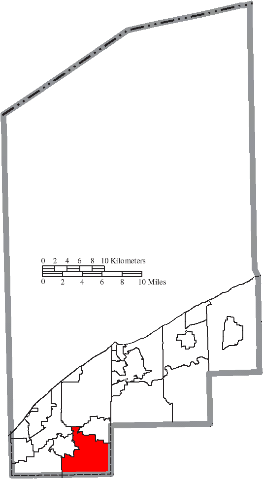
English: Map of the municipal and township boundaries of Lake County, Ohio, United States, as of the 2000 census, with the location of the city of Kirtland highlighted. Township borders are shown only in unincorporated areas in order to differentiate incorporated and unincorporated areas more clearly. |
| 日期 | |
| 来源 | File:Map of Lake County Ohio With Municipal and Township Labels.PNG |
| 作者 | Ruhrfisch and Nyttend |
| 授权 (二次使用本文件) |
本文件采用知识共享署名-相同方式共享 3.0 未本地化版本许可协议授权。
|
说明
添加一行文字以描述该文件所表现的内容
此文件中描述的项目
描繪內容
8 8 2015
文件历史
点击某个日期/时间查看对应时刻的文件。
| 日期/时间 | 缩略图 | 大小 | 用户 | 备注 | |
|---|---|---|---|---|---|
| 当前 | 2015年8月16日 (日) 23:20 | | 534 × 973(34 KB) | Nyttend | {{Information |Description={{en|Map of the municipal and township boundaries of {{w|Lake County, Ohio|Lake County}}, {{w|Ohio}}, {{w|United States}}, as of the 2000 census, with the location of the city of {{w|Kirtland, Ohio|Kirtland}} highlighted. To... |
文件用途
以下页面使用本文件:
全域文件用途
以下其他wiki使用此文件:
- en.wikipedia.org上的用途
- fa.wikipedia.org上的用途
- simple.wikipedia.org上的用途
- sv.wikipedia.org上的用途
元数据
此文件中包含有扩展的信息。这些信息可能是由数码相机或扫描仪在创建或数字化过程中所添加。
如果此文件的源文件已经被修改,一些信息在修改后的文件中将不能完全反映出来。
| 水平分辨率 | 37.8 dpc |
|---|---|
| 垂直分辨率 | 37.8 dpc |