File:Kent_UK_relief_location_map.jpg
維基百科,自由的 encyclopedia
本预览的尺寸:800 × 561像素。 其他分辨率:320 × 224像素 | 640 × 449像素 | 1,024 × 718像素 | 1,280 × 898像素 | 1,999 × 1,402像素。
原始文件 (1,999 × 1,402像素,文件大小:301 KB,MIME类型:image/jpeg)
| 描述Kent UK relief location map.jpg |
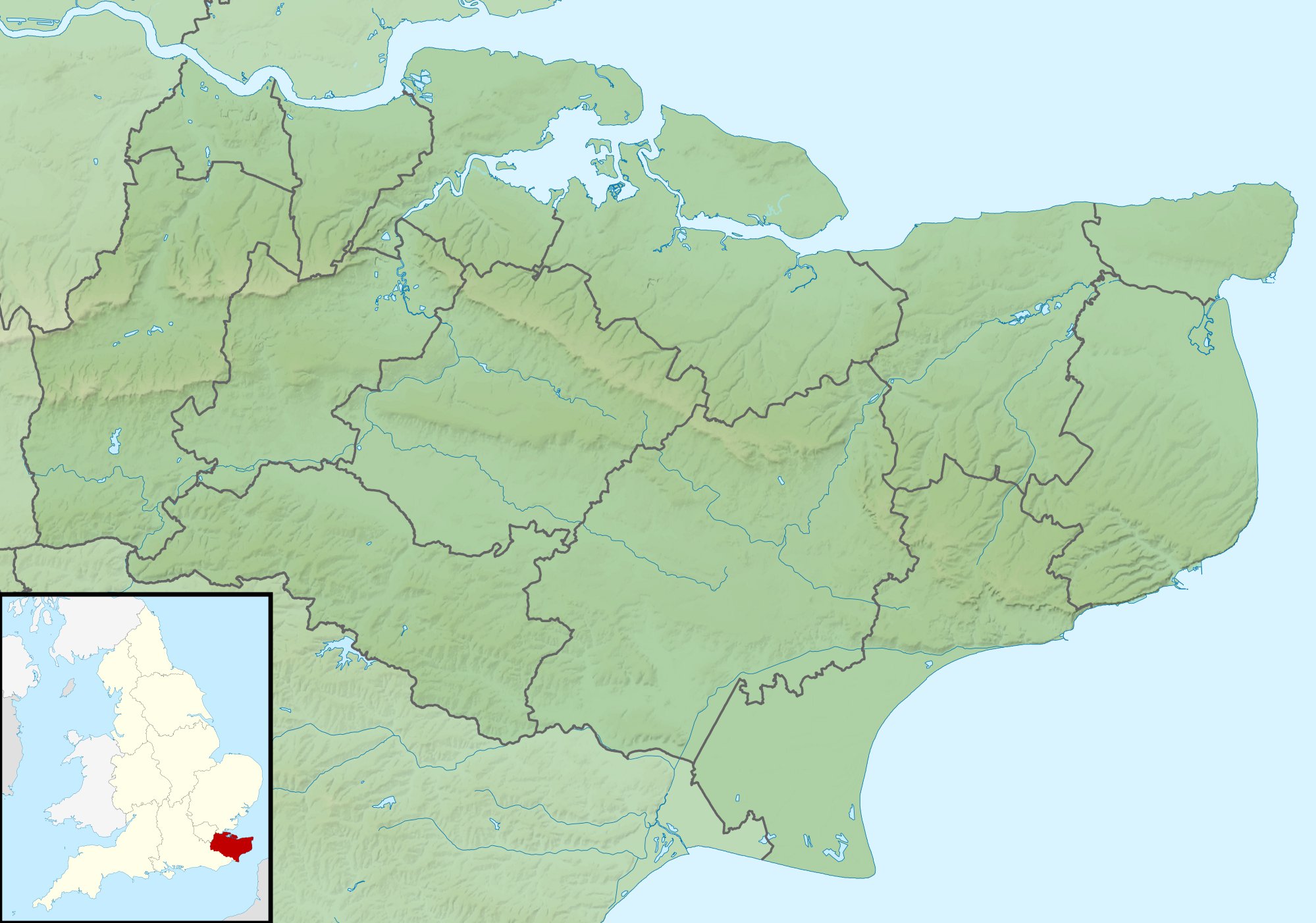
Relief map of Kent, UK. Equirectangular map projection on WGS 84 datum, with N/S stretched 160% Geographic limits:
|
| 日期 | |
| 来源 |
|
| 作者 | Nilfanion, created using Ordnance Survey data |
| 授权 (二次使用本文件) |
本文件采用知识共享署名-相同方式共享 3.0 未本地化版本许可协议授权。 署名: Contains Ordnance Survey data © Crown copyright and database right
|
| 其他版本 | File:Kent UK district map (blank).svg - Blank map |
.svg)
说明
添加一行文字以描述该文件所表现的内容
此文件中描述的项目
描繪內容
29 11 2010
文件历史
点击某个日期/时间查看对应时刻的文件。
| 日期/时间 | 缩略图 | 大小 | 用户 | 备注 | |
|---|---|---|---|---|---|
| 当前 | 2011年11月29日 (二) 01:42 | | 1,999 × 1,402(301 KB) | Nilfanion | {{Information |Description=Relief map of Kent, UK. Equirectangular map projection on WGS 84 datum, with N/S stretched 160% Geographic limits: *West: 0.01E *East: 1.47E *North: 51.52N *South: 50.88N |Source=[[w:Ordnance Survey|Ordnance Survey] |
文件用途
以下2个页面使用本文件:
全域文件用途
以下其他wiki使用此文件:
- ar.wikipedia.org上的用途
- bg.wikipedia.org上的用途
- ceb.wikipedia.org上的用途
- el.wikipedia.org上的用途
- en.wikipedia.org上的用途
- John Dixwell
- Ightham Mote
- Chartwell
- Bewl Water
- Volvo World Match Play Championship
- Royal Cinque Ports Golf Club
- Michael Livesey
- Medway Gap
- London Seniors Masters
- Walmer Lifeboat Station
- Betsom's Hill
- Cliffe Fort
- The Grange, Ramsgate
- 1993 Open Championship
- Long Barn
- Ramsgate Lifeboat Station
- Nathaniel Rich (soldier)
- Capel Manor House
- User:Jokulhlaup/draftarticle21
- Broome Park
- St Augustine's Abbey
- Margate Lifeboat Station
- Whitstable Lifeboat Station
- Sheerness Lifeboat Station
- Dover Lifeboat Station
- SS Maloja
- Poundsbridge Manor
- Dover lorry deaths
- Thanet & District Reform Synagogue
- Module:Location map/data/United Kingdom Kent
- Module:Location map/data/Kent
- Module:Location map/data/United Kingdom Kent/doc
查看此文件的更多全域用途。