File:Europe_countries_map_ja_2.png
維基百科,自由的 encyclopedia
本预览的尺寸:737 × 600像素。 其他分辨率:295 × 240像素 | 590 × 480像素 | 944 × 768像素 | 1,259 × 1,024像素 | 1,475 × 1,200像素。
原始文件 (1,475 × 1,200像素,文件大小:349 KB,MIME类型:image/png)
摘要
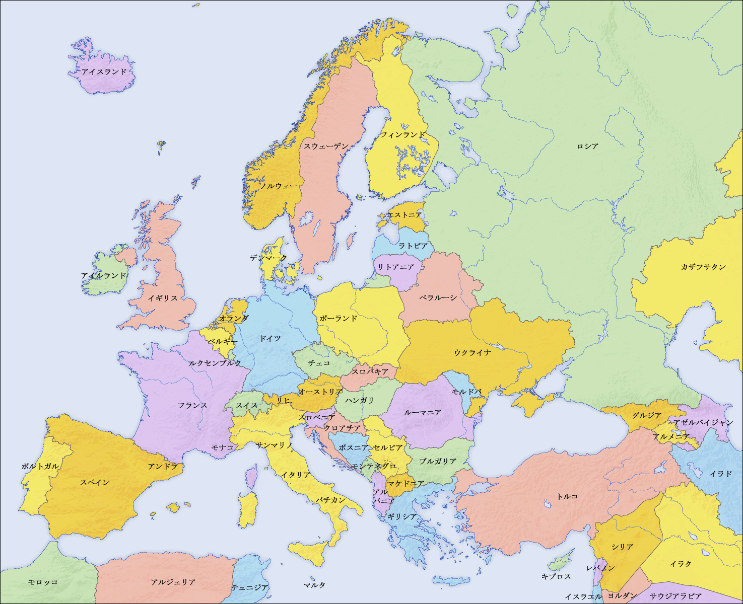
| 描述Europe countries map ja 2.png |
English: Map of countries in Europe and the surrounding region |
||||||||||
| 日期 | |||||||||||
| 来源 |
|
||||||||||
| 作者 | San Jose (map), Kiensvay (retouch) | ||||||||||
| 授权 (二次使用本文件) |
|
||||||||||
| 其他版本 |
[编辑]
|


See also
_en.png)
.png)
.jpg)
说明
添加一行文字以描述该文件所表现的内容
此文件中描述的项目
描繪內容
18 2 2010
文件历史
点击某个日期/时间查看对应时刻的文件。
| 日期/时间 | 缩略图 | 大小 | 用户 | 备注 | |
|---|---|---|---|---|---|
| 当前 | 2010年2月19日 (五) 07:46 | | 1,475 × 1,200(349 KB) | Kiensvay | 修正 |
| 2010年2月17日 (三) 16:50 |  | 1,475 × 1,200(514 KB) | Kiensvay | {{Information |Description={{en|1=Map of countries in Europe and the surrounding region}} |Source={{Retouched picture|1=Saturation, brightness, contrast|editor=Kiensvay|orig=Europe countries map ja.png|origoff=}} |Author=Kiensvay |Date=2 |
文件用途
没有页面链接到本图像。