File:Ceres_Valley_Panorama_View.jpg
維基百科,自由的 encyclopedia
本预览的尺寸:800 × 198像素。 其他分辨率:320 × 79像素 | 640 × 158像素 | 2,048 × 506像素。
原始文件 (2,048 × 506像素,文件大小:128 KB,MIME类型:image/jpeg)
摘要
| 相机位置 | 33° 14′ 20.17″ 南, 19° 19′ 39.04″ 东 | 在以下服务上查看本图像和附近其他图像: OpenStreetMap |
|---|
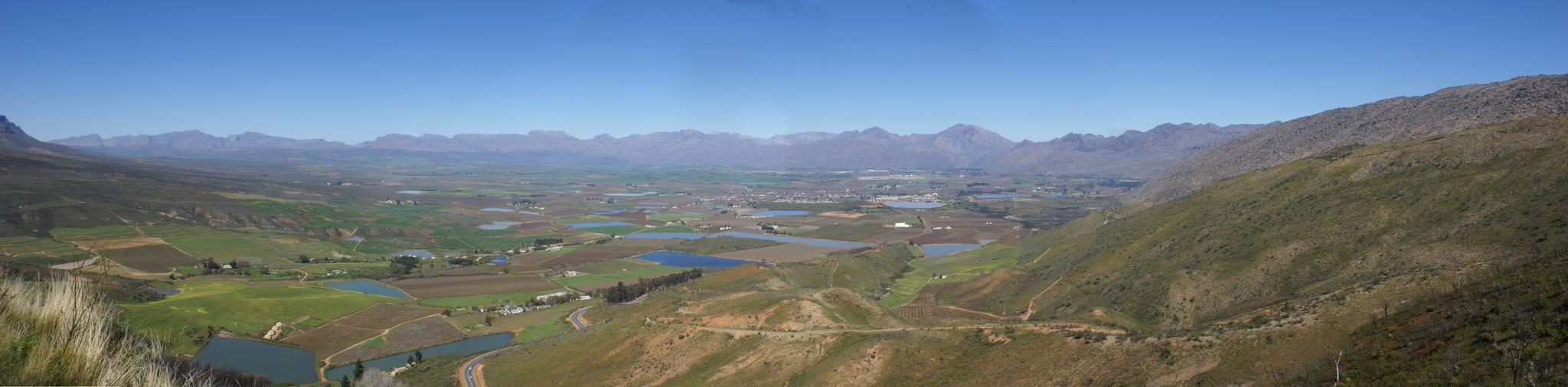
| 描述Ceres Valley Panorama View.jpg | Took a ride today over Bain's Kloof Pass and Mitchell's Pass to Ceres, and then along a road I had not travelled before - over Gydo Pass and through some of the Cederberg Mountains to Citrusdal (some quite long gravel road stretches here). From Citrusdal I travelled over Piekenierkloof Pass (and finally photographed Thomas Bain's cottage that he built when building the mountain pass) and down the N7 back to Cape Town. | ||
| 日期 | |||
| 来源 | Ceres Valley Panorama View | ||
| 作者 | Danie van der Merwe from Cape Town, South Africa | ||
| 授权 (二次使用本文件) |
|
许可协议
说明
添加一行文字以描述该文件所表现的内容
此文件中描述的项目
描繪內容
某些值没有维基数据项目
7 9 2007
33°14'20.170"S, 19°19'39.040"E
image/jpeg
130,738 字节
506 像素
2,048 像素
文件历史
点击某个日期/时间查看对应时刻的文件。
| 日期/时间 | 缩略图 | 大小 | 用户 | 备注 | |
|---|---|---|---|---|---|
| 当前 | 2007年10月10日 (三) 19:01 | 2,048 × 506(128 KB) | File Upload Bot (Magnus Manske) | {{Information |Description= Took a ride today over Bain's Kloof Pass and Mitchell's Pass to Ceres, and then along a road I had not travelled before - over Gydo Pass and through some of the Cederberg Mountains to Citrusdal (some quite long gravel road str |
文件用途
以下页面使用本文件:
全域文件用途
以下其他wiki使用此文件:
- en.wikipedia.org上的用途
- fr.wikipedia.org上的用途
元数据
此文件中包含有扩展的信息。这些信息可能是由数码相机或扫描仪在创建或数字化过程中所添加。
如果此文件的源文件已经被修改,一些信息在修改后的文件中将不能完全反映出来。
| 纬度 | 33°14′20.17″S |
|---|---|
| 经度 | 19°19′39.04″E |
| 高程 | 海平面以上0米 |
| 方向 | 正常 |
| 水平分辨率 | 28.3465 dpc |
| 垂直分辨率 | 28.3465 dpc |
| 使用软件 | Picasa 3.0 |
| 文件修改日期时间 | 2007年9月7日 (五) 23:27 |
| 色彩空间 | sRGB |
| 唯一图像ID | 458fec9a6bac46266c9596aece7dd1ef |
| GPS标签版本 | 2.2.0.0 |