阿勞卡尼亞大區
来自维基百科,自由的百科全书
来自维基百科,自由的百科全书
阿勞卡尼亞大區(Región de la Araucanía)是智利從北到南的第12個大區。首府特木科。該大區大約三分之一的人口是馬普切人,是智利所有地區中比例最高的[3]。
阿勞卡尼亞大區 Región de La Araucanía(西班牙語) Mapu Raqko(馬普切語) | |
---|---|
大區 | |
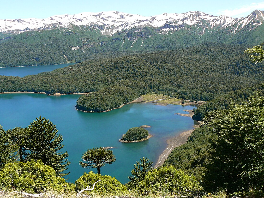
Conguillío National Park | |
Map of Araucanía Region | |
坐標:38°54′S 72°40′W | |
國家 | 智利 |
首府 | 特木科 |
省 | 馬雷科省 考丁省 |
政府 | |
• Intendant | Víctor Manoli (RN) |
面積[1] | |
• 總計 | 31,842.3 平方公里(12,294.4 平方英里) |
面積排名 | 8 |
最高海拔 | 3,125 公尺(10,253 英尺) |
最低海拔 | 0 公尺(0 英尺) |
人口(2017 census)[1] | |
• 總計 | 938,626人 |
• 排名 | 5 |
• 密度 | 29.5人/平方公里(76.3人/平方英里) |
ISO 3166碼 | CL-AR |
HDI (2019) | 0.786[2] high |
網站 | Official website (西班牙語) |
在1900-1930年期間,儘管智利其他地區出現了經濟衰退,阿勞卡尼亞的人口也有顯著增長。[4]阿勞卡尼亞隨後成為智利的主要農業區之一,有「智利糧倉」之稱。阿勞卡尼亞行政區域成立於1974年,位於阿勞卡尼亞這一較大歷史區域的核心。
Seamless Wikipedia browsing. On steroids.
Every time you click a link to Wikipedia, Wiktionary or Wikiquote in your browser's search results, it will show the modern Wikiwand interface.
Wikiwand extension is a five stars, simple, with minimum permission required to keep your browsing private, safe and transparent.