File:Map_of_State_College,_Centre_County,_Pennsylvania_Highlighted.png
維基百科,自由的 encyclopedia
預覽大小:800 × 493 像素。 其他解析度:320 × 197 像素 | 640 × 395 像素 | 1,024 × 631 像素 | 1,280 × 789 像素 | 2,680 × 1,652 像素。
原始檔案 (2,680 × 1,652 像素,檔案大小:79 KB,MIME 類型:image/png)
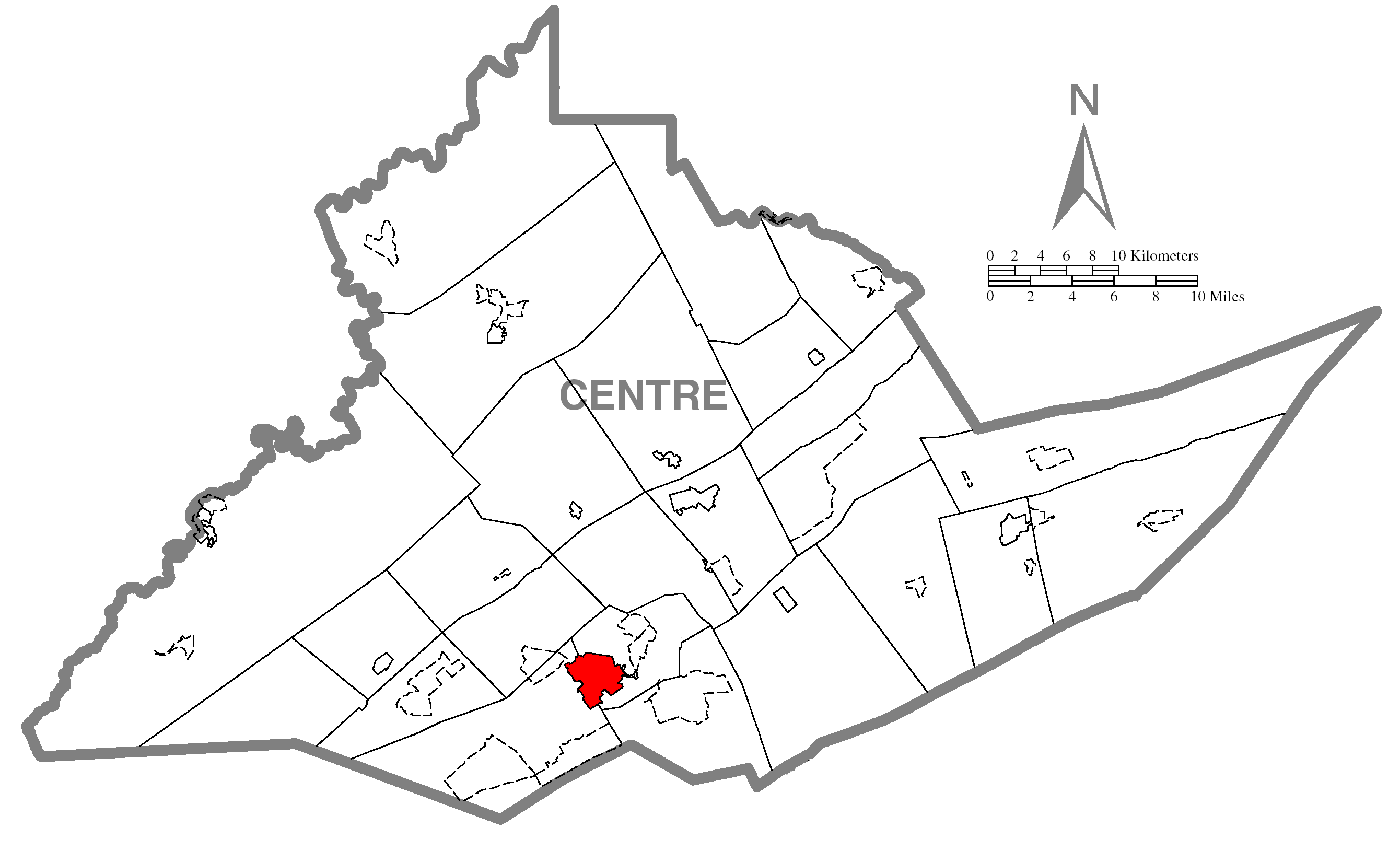
| 描述Map of State College, Centre County, Pennsylvania Highlighted.png | A map of Centre County showing State College, Pennsylvania (alternate) highlighted on the map. | |||
| 日期 | ||||
| 來源 | Source image taken from the United States Census Bureau's website pa_cosub.pdf. Image was modified by Ram-Man. | |||
| 作者 | (c)2006 Derek Ramsey (Ram-Man) (from U.S. Census Bureau source) | |||
| 授權許可 (重用此檔案) |
A United States Census Bureau / Government work is in the public domain, however, my modifications are licensed as follows: You may NOT use this image on your own web site or anywhere else unless you release this image and any derivative works (e.g. your web site) by following the terms of one of the following licenses. Any other use will be considered a breach of copyright and I reserve the right of legal action. If you have not read the terms of these licenses or do not understand them, then do not use this image. 我,本作品的著作權持有者,決定用以下授權條款發佈本作品:
您可以選擇您需要的授權條款。 |
|||
| 其他版本 |
Image:Map of Centre County, Pennsylvania.png - Source map before highlighting (with text). Image:Map of Centre County, Pennsylvania No Text.png - Source map before highlighting (without text). |

說明
添加單行說明來描述出檔案所代表的內容
在此檔案描寫的項目
描繪內容
GNU自由文檔許可證1.2版 繁體中文 (已轉換拼寫)
創用CC姓名標示-相同方式分享2.0通用版 繁體中文 (已轉換拼寫)
創用CC姓名標示-相同方式分享2.5通用版 繁體中文 (已轉換拼寫)
創用CC姓名標示-相同方式分享1.0通用版 繁體中文 (已轉換拼寫)
31 10 2006
檔案歷史
點選日期/時間以檢視該時間的檔案版本。
| 日期/時間 | 縮圖 | 尺寸 | 使用者 | 備註 | |
|---|---|---|---|---|---|
| 目前 | 2006年10月31日 (二) 17:03 | | 2,680 × 1,652(79 KB) | Ram-Man | {{Information| |Description={{PennMapDesc|Centre|State College}} |Source=Source image taken from the United States Census Bureau's website [http://www2.census.gov/geo/maps/general_ref/cousub_outline/cen2k_pgsz/pa_cosub.pdf pa_cosub.pdf]. Image was modifie |
檔案用途
下列頁面有用到此檔案:
全域檔案使用狀況
以下其他 wiki 使用了這個檔案:
- ar.wikipedia.org 的使用狀況
- azb.wikipedia.org 的使用狀況
- ca.wikipedia.org 的使用狀況
- cy.wikipedia.org 的使用狀況
- eu.wikipedia.org 的使用狀況
- fa.wikipedia.org 的使用狀況
- fr.wikipedia.org 的使用狀況
- ga.wikipedia.org 的使用狀況
- ht.wikipedia.org 的使用狀況
- ja.wikipedia.org 的使用狀況
- sh.wikipedia.org 的使用狀況
- sr.wikipedia.org 的使用狀況
- tt.wikipedia.org 的使用狀況
- ur.wikipedia.org 的使用狀況
- vi.wikipedia.org 的使用狀況
- vo.wikipedia.org 的使用狀況
- www.wikidata.org 的使用狀況
- zh-min-nan.wikipedia.org 的使用狀況