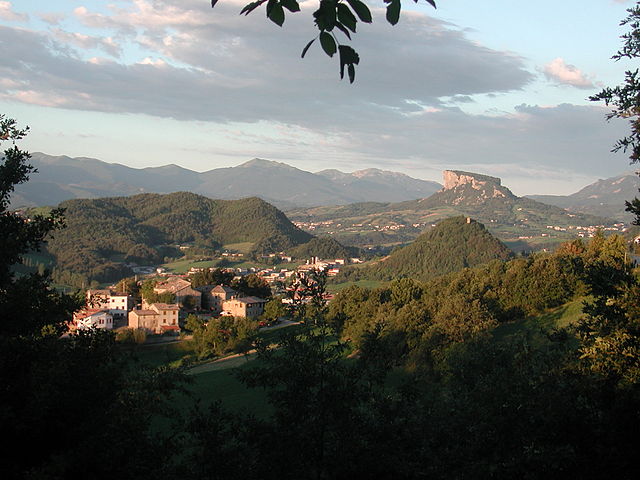
亚平宁山脉
来自维基百科,自由的百科全书
亚平宁山脉(意大利语:Appennini[1]),位于亚平宁半岛东侧,是亚平宁半岛的主干山脉,北起阿尔卑斯山南麓,南至亚平宁半岛南端,全长超过1000公里,最高峰科尔诺山。全境属意大利管辖。
此条目需要扩充。 (2018年11月2日) |
| 亚平宁山脉 Monti Appennini(意大利语) | |
|---|---|
 位处大萨索山国家公园内的科尔诺山 | |
 Relief map of the Apennines | |
| 最高点 | |
| 山峰 | 科尔诺山 |
| 海拔 | 2,912米(9,554英尺) |
| 坐标 | 42°28′9″N 13°33′57″E |
| 规模 | |
| 长度 | 1,200千米(750英里) northwest to southeast |
| 宽度 | 250千米(160英里) southwest to northeast |
| 地理 | |
| 国家 | 意大利 and 圣马力诺 |
| 山脉坐标 | 43°16.9′N 12°34.9′E |
| 地质 | |
| 岩石年代 | Mesozoic for formation of rock, Neogene-Quaternary for orogeny |
| 岩石类型 | Apennine fold and thrust belt |

多悬崖峭壁的断层式海岸。山脉系由一系列山地和丘陵组成的年轻褶皱带,多火山和地震。
参考
外部链接
Wikiwand - on
Seamless Wikipedia browsing. On steroids.
