大窩山
来自维基百科,自由的百科全书
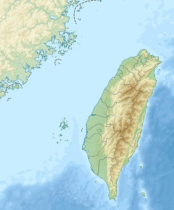
大窩山,位於台灣苗栗縣南庄鄉東河村與新竹縣五峰鄉桃山村交界處的一座山峰,峰頂海拔1,642公尺[1][2],屬於加里山山脈北稜線上的山峰。
地理
以下為沿此山主要稜線分佈的周邊山嶽[3]:
周邊山嶽尚有光天高山(西北側)。
以下為發源於此山的河川[3]:
周邊林道及步道
參考資料
Wikiwand in your browser!
Seamless Wikipedia browsing. On steroids.
Every time you click a link to Wikipedia, Wiktionary or Wikiquote in your browser's search results, it will show the modern Wikiwand interface.
Wikiwand extension is a five stars, simple, with minimum permission required to keep your browsing private, safe and transparent.

