庫姆蘭
以色列的一处考古遗址 来自维基百科,自由的百科全书
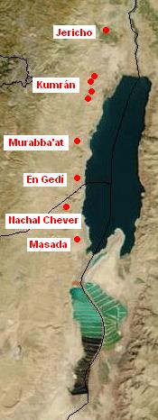
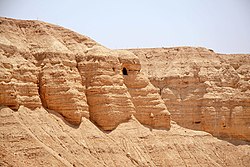
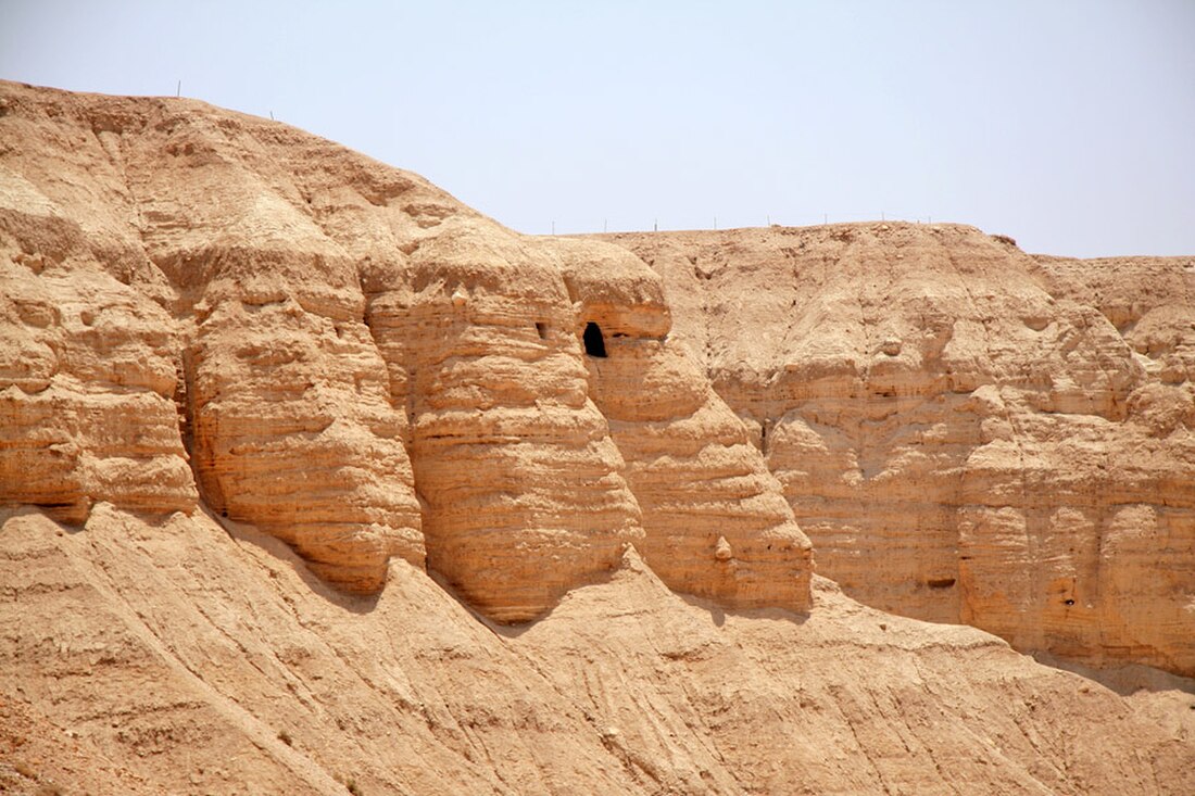
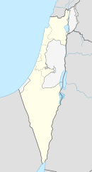
庫姆蘭(希伯來語:קומראן; 阿拉伯語:خربة قمران Khirbet Qumran、(Khirbet Qumran,或譯昆蘭或坎巒、谷木蘭)) 是西岸的一個考古遺址,由以色列的庫姆蘭國家公園管理。[1] 它位於死海西北岸一英里乾燥的高原,靠近以色列定居點和基布茲Kalya。希臘化時代居民點建於John Hyrcanus在位時期(公元前134-104年)或稍後,直到公元68年或稍後被羅馬人摧毀。這是最接近埋藏死海古卷的庫姆蘭洞穴的居民點。在庫姆蘭的主要發掘是由羅蘭德·沃克斯在20世紀50年代進行。

| 庫姆蘭 | |
|---|---|
| קומראן خربة قمران | |
 | |
| 位置 | 西岸Kalya |
| 座標 | 31°44′27″N 35°27′31″E |
| 時期 | 希臘化時代到羅馬帝國 |
| 建成時間 | BC134-104 |
| 廢棄時間 | 68 |
參考
Wikiwand in your browser!
Seamless Wikipedia browsing. On steroids.
Every time you click a link to Wikipedia, Wiktionary or Wikiquote in your browser's search results, it will show the modern Wikiwand interface.
Wikiwand extension is a five stars, simple, with minimum permission required to keep your browsing private, safe and transparent.

