File:Cocos_Plate_map-fr.png
維基百科,自由的 encyclopedia
此為最大尺寸。
Cocos_Plate_map-fr.png (655 × 463 像素,檔案大小:295 KB,MIME 類型:image/png)
| 描述Cocos Plate map-fr.png |
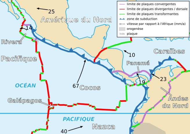
Français : Carte de la plaque des Cocos English: Map of the Cocos Plate |
| 日期 | |
| 來源 | Cropped version by myself of Image:Tectonic_plates_boundaries_detailed-fr.svg created by Sting under CC-BY-SA |
| 作者 | Sting and Rémih |
| 授權許可 (重用此檔案) |
此檔案採用創用CC 姓名標示-相同方式分享 2.5 通用版授權條款。
|
| 其他版本 |
Scaled version of  |
說明
添加單行說明來描述出檔案所代表的內容
在此檔案描寫的項目
描繪內容
共享創意署名-相同方式共享2.5通用版 Chinese (Hong Kong) (已轉換拼寫)
18 11 2006
多媒體型式 繁體中文 (已轉換拼寫)
image/png
資料大小 Chinese (Hong Kong) (已轉換拼寫)
302,257 位元組
463 像素
655 像素
檔案歷史
點選日期/時間以檢視該時間的檔案版本。
| 日期/時間 | 縮圖 | 尺寸 | 用戶 | 備註 | |
|---|---|---|---|---|---|
| 目前 | 2006年11月18日 (六) 22:56 | | 655 × 463(295 KB) | Rémih | {{Information |Description={{fr|Carte de la plaque des Cocos}}{{en|Map of the Cocos Plate}} |Source=Cropped version by myself of Image:Tectonic_plates_boundaries_detailed-fr.svg created by Sting under CC-BY-SA |Date=18/11/2006 |Author= |
檔案用途
下列頁面有用到此檔案:
全域檔案使用狀況
以下其他 wiki 使用了這個檔案:
- ca.wikipedia.org 的使用狀況
- fi.wikipedia.org 的使用狀況
- fr.wikipedia.org 的使用狀況
- it.wikipedia.org 的使用狀況
- oc.wikipedia.org 的使用狀況
- uk.wikipedia.org 的使用狀況